A Chilly Start to Spring: March 2013

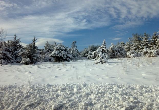
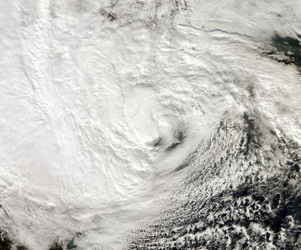
While the core of the winter season (December-February) averaged quite a bit milder than usual across New Jersey (see winter summary in the February narrative), the broader cool season began with a November that was cooler than average with above-average snowfall and ended with a cooler and snowier than average March, making for what seemed to be a long winter. Looking more closely at March 2013, the statewide average of 38.3° was 2.8° below the 1981-2010 average and ranked as the 37th coolest since 1895. What a difference a year makes, as March 2012 was 11.5° warmer than this year! Precipitation (rain and melted snowfall) averaged 3.05", which is 1.18" below average and the 36th driest on record. Snowfall averaged 5.2", which is 1.0" above average.
Chilly conditions were rather consistent during March, with only six days where one or more observing stations in NJ reached a maximum of 60° or higher. There was an absence of excessive cold, with lows falling into the teens in some locations on 12 mornings, yet most of the state dropping no lower than the 20°s at any point. Beginning with the cold lows, the 3rd and 4th both dawned with the NJWxNet High Point and High Point Monument stations (Sussex County) at 18° and 19°, respectively. Walpack (Sussex) was coldest at 19° on the 9th. The 10th was one of the three coldest mornings statewide in March. Pequest (Warren), Berkeley Township (Ocean), and Walpack fell to 19°, with a total of 23 of the 55 stations in the NJWxNet at 25° or colder.


