heavy rain

Mild With Some Beneficial Rain: October 2014 Recap
November 3, 2014 - 4:57pm -- Dave Robinson

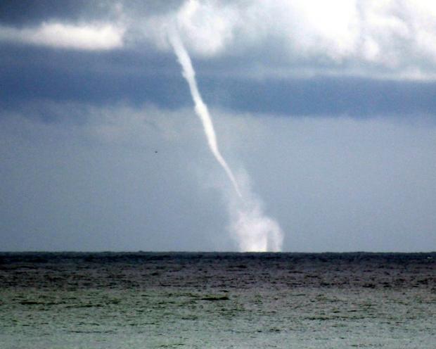
Waterspout photo

The tenth month of 2014 bucked the recent tendency toward dry conditions in northern New Jersey and proved to be the warmest month compared to normal since October 2013. Statewide, the October average temperature of 57.0° was 2.2° above the 1981-2010 average. This ranks as the 23rd warmest (tied with 1955) in 120 years (since records began in 1895). The average precipitation across NJ was 3.78". This is 0.15" below the mean and ranks as the 51st wettest October. Rainfall was above average in what have been some of the driest northern counties since mid summer. Still, from Mercer and Middlesex counties northward, precipitation has only been 50-75% of normal the past three months. Thus this area is still considered "abnormally dry" on the US Drought Monitor map.

Soaking rains keep much of the Garden State green

July 17, 2014 - 10:59pm -- Dave Robinson

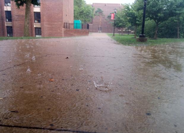
Heavy rain photo

The past week has seen localized soaking rains across much of NJ, though not everywhere has gotten clobbered. The map below shows rainfall totals from Sunday morning the 13th through the morning of the 16th. Over this roughly 72 hour interval as much as 8.52” fell in Howell Township (Monmouth County), followed by Belmar (Monmouth) with 7.42”, Wall Township (Ocean) 7.22”, Millstone Township (Monmouth) 5.98”, and Raritan (Somerset) 5.42”. To demonstrate the local variability of the precipitation, four Bridgewater (Somerset) locations received 5.09”, 4.55”, 4.41” and 3.88”. Differences were even more pronounced over distances of several tens of miles. For instance, only 20 miles from Howell, rainfall totaled just 0.89” at Seaside Heights (Ocean) to the south and 2.42” in Rumson (Monmouth) to the north.

Heavy rain and flooding plague NJ residents

May 1, 2014 - 6:20pm -- Mathieu Gerbush

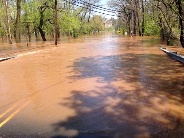
Flooding photo

Copious moisture streaming across a slowly advancing warm front resulted in a period of heavy rain across the Garden State, with most of the rainfall occurring on April 30th. The entirety of NJ north of Cape May County was deluged with more than 2.00" of rain, with a large area of greater than 4.00" totals extending from southwest to northeast along the entire span of the state. In particular, the area from western Salem, Gloucester, Camden, Burlington and Monmouth counties north up to roughly I-80 were socked with 4.00"-5.00", with some localized pockets of greater than 5.00". CoCoRaHS stations in Robbinsville Twp (Mercer County) and Matawan (Monmouth) reported the highest totals in the state, with 6.02" and 5.59", respectively. Stations in Medford Twp (Burlington County; 5.44"), New Brunswick (Middlesex; 5.39"), Westfield (Union; 5.32"), and Maplewood Twp (Essex; 5.25") also measured among the heaviest totals in NJ. On the low side, stations in Cape May County such as West Cape May (0.90"), Middle Twp (1.05"), Dennis Twp (1.27"), and Wildwood Crest (1.29") missed out on the heaviest rain.

Winter refuses to relinquish its grip on the Garden State: March 2014 Summary

April 5, 2014 - 12:00am -- Dave Robinson

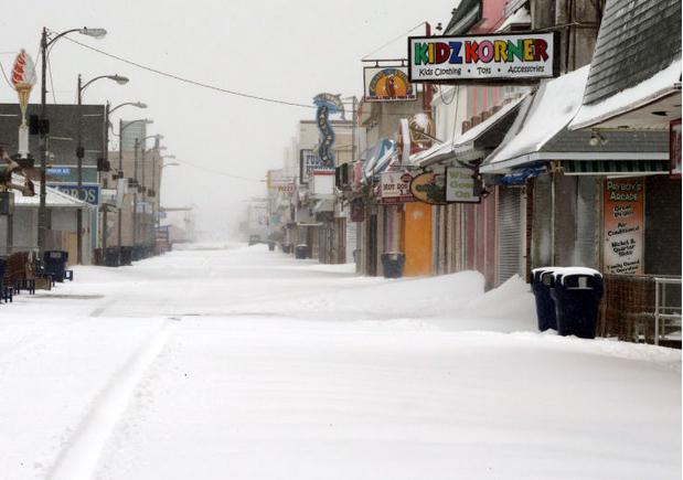
March 2014 snow photo

One of the most disruptive winters in recent memory continued to deliver cold weather throughout New Jersey during March. Three snow events brought over 20" of snow to Cape May County, yet failed to bring more than flurries to northern counties. The statewide average monthly temperature of 35.3° was 5.8° below normal. Thus March ranked as the 11th coldest since statewide records commenced in 1895 (Table 1). Rain and melted snow for the month averaged 4.11". This is 0.12" below normal and ranks as the 55th wettest of the past 120 Marches. Aside from the southern snows, the bulk of the precipitation fell in a soaking storm at month's end.

Pre-Thanksgiving Soaking

November 28, 2013 - 12:00am -- Dave Robinson

Snow photo

The first statewide nor’easter of the season soaked the Garden State on Tuesday and Wednesday the 26th-27th. Heavy rain, some northwest freezing rain, and strong winds contributed to holiday travel woes, though fortunately the worst conditions occurred during the overnight hours of Tuesday into Wednesday. The excellent National Weather Service forecasts had everyone aware of the potential storm days in advance, which helped in planning and preparation.

Subscribe to RSS - heavy rain