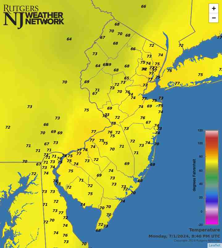
Latest Temperatures

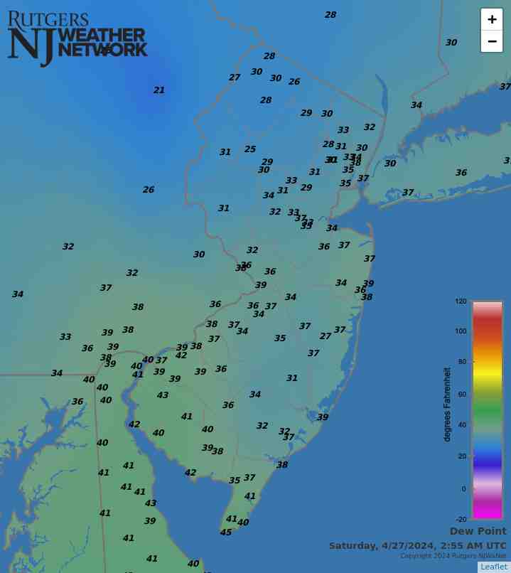
Current Dew Point

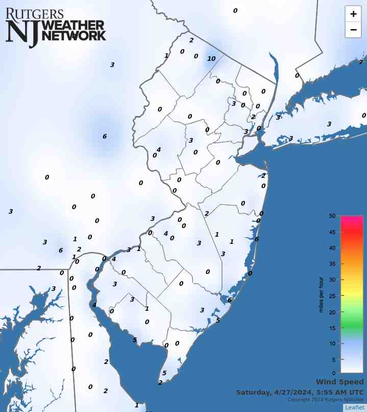
Latest Wind Speeds

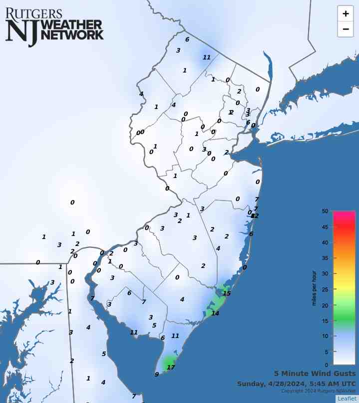
Wind Gusts

Top Story

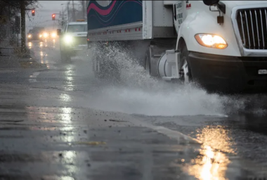
A truck splashes a puddle on Route 46 in Ridgefield Park (Bergen County) on December 9th, 2024. December helped ameliorate drought conditions, but not eliminate it. Photo by Julian Leshay Guadalupe/NorthJersey.com

The theme of “pressure” was selected to define the last month of 2024. In an absolute sense, this refers to a mid-December period with the highest atmospheric pressure recorded in New Jersey in over 40 years. It can also be linked with pressure differentials over the course of the month that resulted in many windy days. In a relative sense, it refers to the need to recoup the substantial precipitation deficit for the second half of the year in hopes that water resources will rebound, and by spring, drought will not be of great concern. Some progress in that direction was made from late November through December, but far more is needed in upcoming months. Following a recap of December conditions, this report will conclude with an overview of the Garden State’s weather/climate of 2024, including a link to our annual top 10 event list.

Statewide, December precipitation was more plentiful than any month since August, though still below the 1991–2020 normal. The rain and melted snow averaged 3.67”. This was 0.60” below normal and ranks as the 65th driest (66th wettest) since statewide records commenced in 1895. As seen most often throughout 2024, south Jersey was drier than the north in December. The southern climate division (Mercer/Middlesex/Monmouth south, except east of the Garden State Parkway) averaged 3.55” (-0.73”, 63rd driest/68th wettest), the coastal division (east of the Parkway) came in at 3.21” (-1.15, 55th driest/76th wettest), and the northern division (Hunterdon/Somerset/Union and north) averaged 3.92” (-0.33”, 70th driest/61st wettest).

Latest Extremes

City, State Temp
Atlantic City Marina, NJ 38
Harvey Cedars, NJ 36
Gooseneck Pt. Bridge, NJ 35
Sea Girt, NJ 35
Oceanport, NJ 34
City, State Temp
Hopewell Twp., NJ 21
Pequest, NJ 21
Kingwood, NJ 22
Hackettstown, NJ 22
Basking Ridge, NJ 23
most current information as of Jan 17 8:40 PM

Latest Conditions & Forecast

New Brunswick, NJ

Rutgers University Meteorology Program

27°F

Wind

0 mph from the SW

Wind Gust

1 mph from the SW

Partly Cloudy
28 °F
Chance Rain then Rain Likely
43 °F
Mostly Cloudy
29 °F
Chance Rain/Snow then Rain/Snow
35 °F
Snow Likely
16 °F
Mostly Sunny
25 °F
Mostly Clear
5 °F
Mostly Sunny
17 °F
Mostly Cloudy then Chance Snow
6 °F
Mostly Sunny
19 °F
Partly Cloudy
6 °F
Mostly Sunny
27 °F
Mostly Cloudy
15 °F
Partly Sunny
33 °F

Tonight

Partly cloudy, with a low around 28. South wind around 5 mph.

Saturday

Rain likely, mainly between 10am and 4pm. Cloudy, with a high near 43. South wind around 5 mph. Chance of precipitation is 60%. New precipitation amounts of less than a tenth of an inch possible.

Saturday Night

Mostly cloudy, with a low around 29. Calm wind becoming northwest around 5 mph after midnight.

Sunday

Snow, possibly mixed with rain, becoming all snow after 4pm. The snow could be heavy at times. High near 35. North wind 5 to 10 mph. Chance of precipitation is 80%. New snow accumulation of 3 to 5 inches possible.

Sunday Night

Snow likely, mainly before 1am. Mostly cloudy, with a low around 16. Northwest wind around 10 mph. Chance of precipitation is 60%. New snow accumulation of 1 to 3 inches possible.

M.L.King Day

Mostly sunny, with a high near 25.

Monday Night

Mostly clear, with a low around 5.

Tuesday

Mostly sunny, with a high near 17.

Tuesday Night

A chance of snow after 1am. Mostly cloudy, with a low around 6. Chance of precipitation is 30%.

Wednesday

Mostly sunny, with a high near 19.

Wednesday Night

Partly cloudy, with a low around 6.

Thursday

Mostly sunny, with a high near 27.

Thursday Night

Mostly cloudy, with a low around 15.

Friday

Partly sunny, with a high near 33.

Search by zipcode or city/state for the latest conditions, forecasts, graphs, maps and more nearest to you.

More News

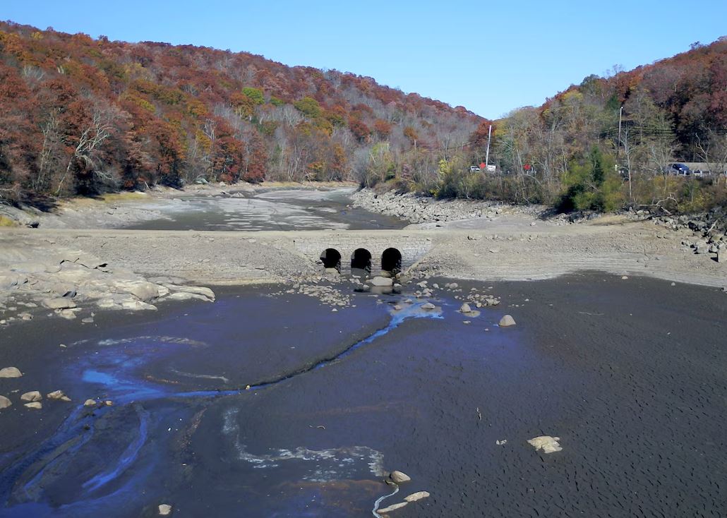
A dry Oak Ridge Reservoir (Morris County) on October 24th, 2024, revealing a "ghost bridge" that had been used by stagecoaches on the original roadbed of the Paterson-Hamburg Turnpike. Photo by Andre Malok/NJ.com.

For the 16th consecutive year, we in the state climate office have evaluated the myriad daily, monthly, and annual observations gathered across New Jersey during the course of the year to choose what we feel were the most significant and impactful 10 weather and climate events of 2024. More about each event can be found in the monthly narratives posted on our website. You might be tempted to rearrange the rankings, particularly as some of the events on the list may have affected you more than others ranked higher. Or perhaps you best recall one that didn't make the list. That's the...

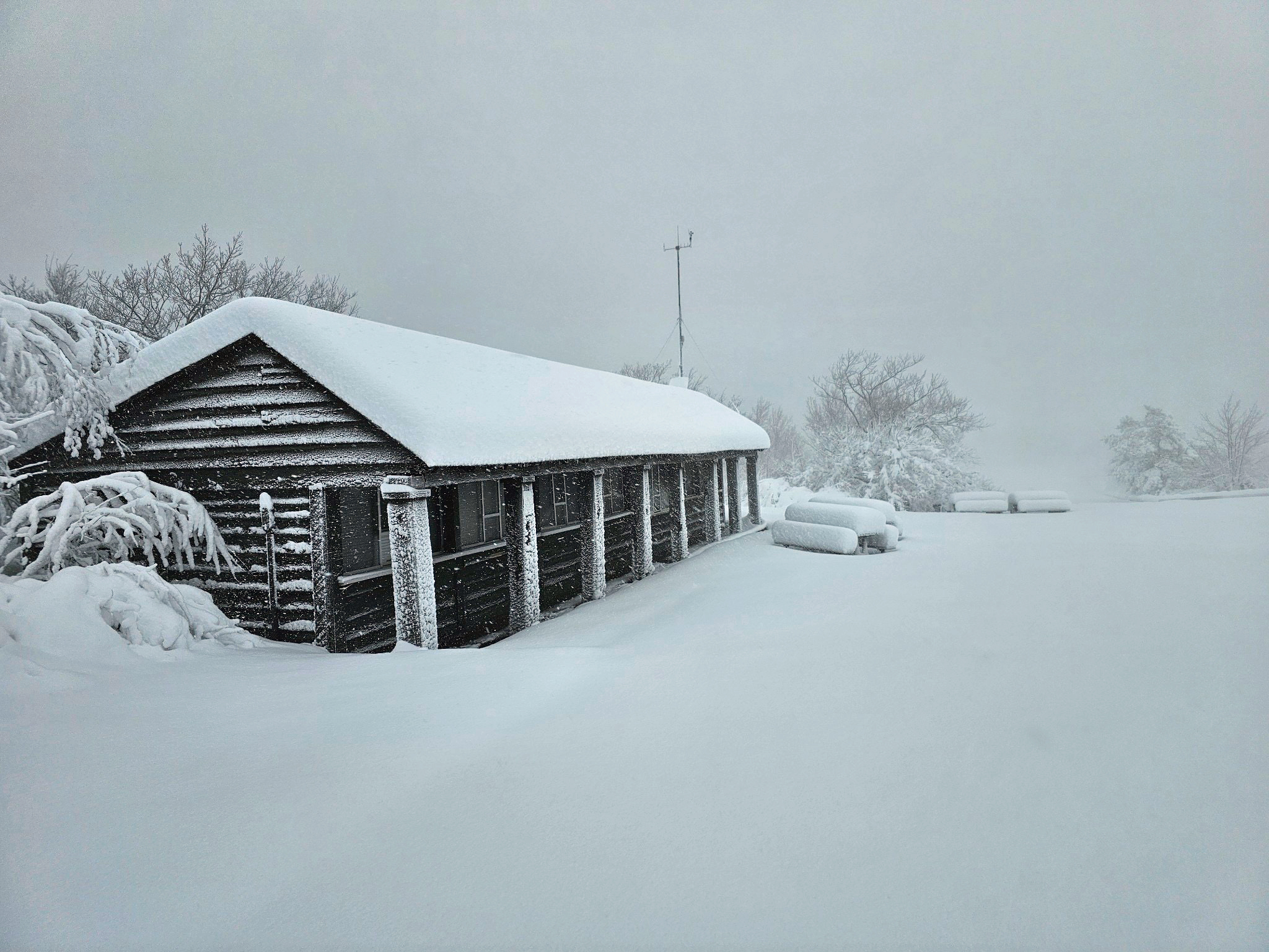
High Point Monument (Sussex County) on the morning of November 22nd with a fresh 20.0” snowfall (photo courtesy of Shawn Viggiano).

Following a remarkably dry, record-breaking October, and the two driest consecutive months on record, you had to wonder if November would have anything of note to add to a rather peculiar fall. In short, it did not disappoint. Drought continued (but it precipitated!), warmth prevailed, and a November snowfall record was established for a single storm and location. More on fall 2024 will be presented below. First, a recap of November conditions. Statewide, November precipitation (rain and melted snow) averaged 2.65”. This was 0.71” below the 1991–2020 normal and ranks as the 52nd driest...

Aurora Borealis as seen from High Point on October 10th, 2024 (photo courtesy of Shawn Viggiano).

New Jersey has transitioned into a worrisome drought situation following historically low October precipitation. So, too, was the September–October combined total a record low. The NJ Department of Environmental Protection issued a Drought Watch on October 17th, serving as a “heads up” that the state had been exceedingly dry for weeks. This continued through the end of the month, one in which, averaged statewide, precipitation totaled only 0.02”. This was 4.17” below the 1991–2020 normal and surpassed October 1963 as the driest October on record. Many gauges failed to collect any measurable...

More News

ONJSC's Top 10 NJ Weather and Climate Events of 2024

January 3, 2025 - 3:03pm -- Dave Robinson

A dry Oak Ridge Reservoir (Morris County) on October 24th, 2024, revealing a "ghost bridge" that had been used by stagecoaches on the original roadbed of the Paterson-Hamburg Turnpike. Photo by Andre Malok/NJ.com.

For the 16th consecutive year, we in the state climate office have evaluated the myriad daily, monthly, and annual observations gathered across New Jersey during the course of the year to choose what we feel were the most significant and impactful 10 weather and climate events of 2024. More about each event can be found in the monthly narratives posted on our website. You might be tempted to rearrange the rankings, particularly as some of the events on the list may have affected you more than others ranked higher. Or perhaps you best recall one that didn't make the list. That's the enjoyment and frustration of lists! Unless stated otherwise, statewide values are based on an average of several dozen stations. The period of record for monthly, seasonal, and annual departures is 1991–2020; while for extremes and rankings it is from 1895–present. Observations are mainly drawn from National Weather Service Cooperative Observing Program stations, Rutgers NJ Weather Network (NJWxNet) stations, and NJ Community Collaborative Rain, Hail, and Snow Network (CoCoRaHS) locations.

Peculiar Indeed: November and Fall 2024 Recaps

December 10, 2024 - 11:55am -- Dave Robinson

High Point Monument (Sussex County) on the morning of November 22nd with a fresh 20.0” snowfall (photo courtesy of Shawn Viggiano).

Following a remarkably dry, record-breaking October, and the two driest consecutive months on record, you had to wonder if November would have anything of note to add to a rather peculiar fall. In short, it did not disappoint. Drought continued (but it precipitated!), warmth prevailed, and a November snowfall record was established for a single storm and location. More on fall 2024 will be presented below. First, a recap of November conditions.

Statewide, November precipitation (rain and melted snow) averaged 2.65”. This was 0.71” below the 1991–2020 normal and ranks as the 52nd driest November dating back 130 years to 1895. The extreme northwest was wettest and the extreme south driest. The northern climate division (Hunterdon-Somerset-Union counties and northward) averaged 2.89” (-0.58”, 50th driest), the southern division (Mercer-Middlesex-Monmouth southward, except along the coast) 2.51” (-0.78”, 51st driest), and the coastal division (mainly east of the Garden State Parkway) 2.41” (-0.93”, 49th driest).

The statewide monthly average temperature of 49.1° was 4.0° above normal, ranking 5th mildest on record. Seven of the eight mildest Novembers in the past 130 years have occurred since 2001. The average high was 59.6°, which was 4.9° above normal and tied as the 4th mildest. The average low was 38.6°, which was 3.1° above normal and tied for 10th mildest. The north averaged 47.0° (+3.9°, 5th mildest), south 50.3° (+4.0°, tied for 4th mildest), and the coast 51.5° (+4.2°, tied for 3rd mildest).

Bone Dry: October 2024 Recap

November 8, 2024 - 10:15pm -- Dave Robinson

Aurora Borealis as seen from High Point on October 10th, 2024 (photo courtesy of Shawn Viggiano).

New Jersey has transitioned into a worrisome drought situation following historically low October precipitation. So, too, was the September–October combined total a record low. The NJ Department of Environmental Protection issued a Drought Watch on October 17th, serving as a “heads up” that the state had been exceedingly dry for weeks. This continued through the end of the month, one in which, averaged statewide, precipitation totaled only 0.02”. This was 4.17” below the 1991–2020 normal and surpassed October 1963 as the driest October on record. Many gauges failed to collect any measurable precipitation and those that did, at best, saw no more than about 0.10”. The northern climate division averaged 0.03” (-4.42”, driest), southern division 0.01” (-4.02, driest), and coast 0.02” (-4.07”, driest).

This was not a record low precipitation just for October, rather for any month. Seven of the ten driest months since 1895 have occurred in the fall. When warm-season showers and possible late-season tropical systems fail to deliver rain to the Garden State, and early cold-season low pressure systems fail to arrive, extended dry spells may occur. Still, runs of 30 or more days without measurable precipitation are quite rare. Dry streaks at some stations were continuing into November as of the report publication date (November 8th).

October precipitation futility in conjunction with the third driest September on record resulted in the driest of any pairing of consecutive months on record. The 0.80” total was 0.55” lower than the previous record in December 1980–January 1981. The southern half of the state was drier than the north, though both were woefully dry.

An Atmospheric 180°: September 2024 Recap

October 8, 2024 - 4:08pm -- Dave Robinson

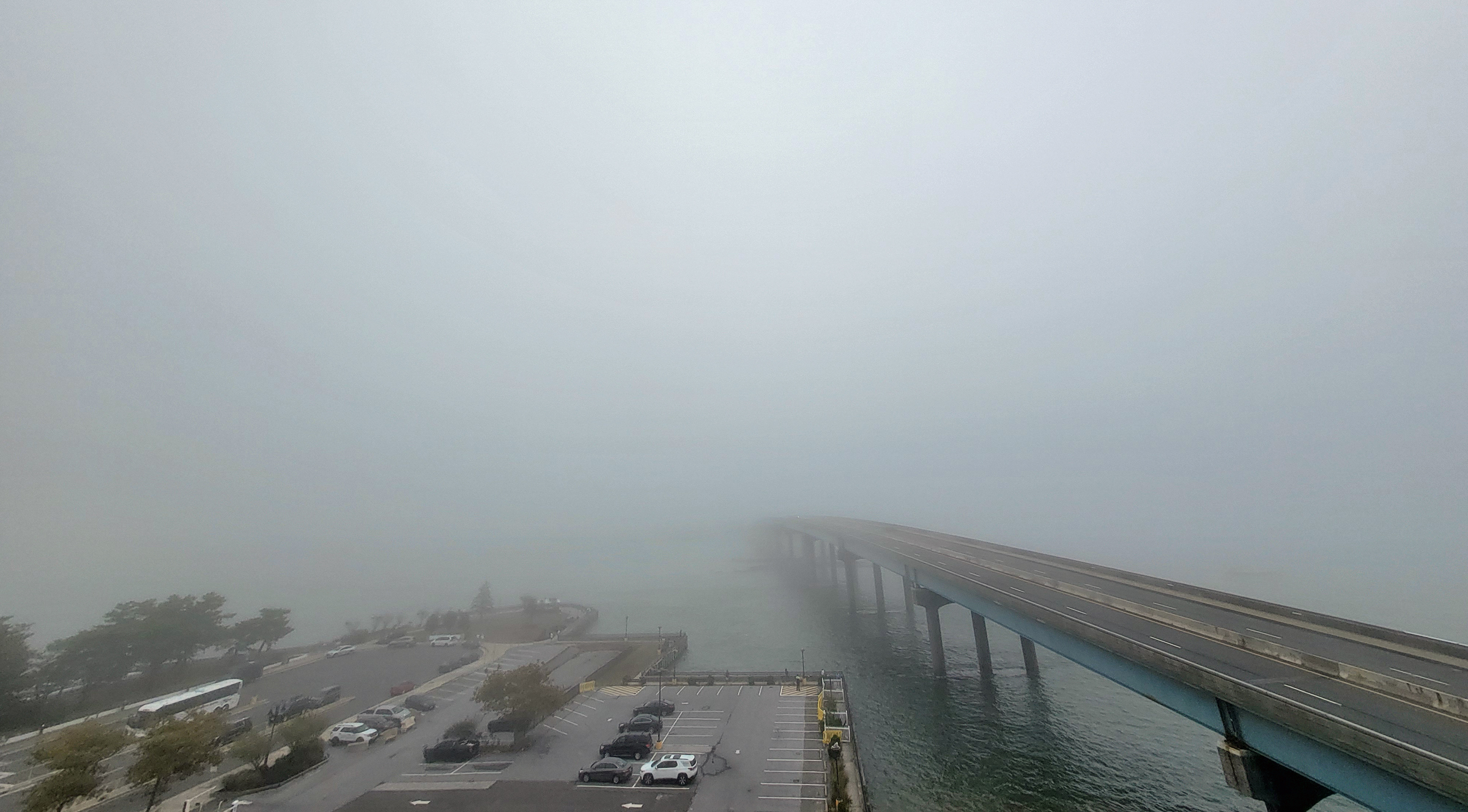
Marine fog shrouds the Brigantine Bridge that connects Atlantic City and Brigantine (Atlantic County) on September 28th (photo courtesy of Chris Stachelski).

Perhaps the title for this month’s report has captured your attention. Hope so, because while September was a rather quiet month weather-wise for New Jersey, it certainly was an unusual one. As many of you reading this report know, the prevailing winds across the middle latitudes, including New Jersey, tend to be westerlies, comprised of winds blowing from west to east. However, an unusually persistent atmospheric pattern this past month resulted in easterly winds most often blowing across the state. This led to minor coastal flooding, rip currents, and foggy conditions along the coast, and to moderate air temperatures and exceedingly dry conditions throughout NJ.

Looking first at precipitation, the general absence of notable storms either of coastal, tropical, or thunderstorm varieties led to the 3rd driest September on record. With records back 130 years to 1895, the statewide average of 0.83” was only greater than 0.29” in 1941 and 0.38” in 1914. The month fell 3.33” below the 1991–2020 average. The northern climate division averaged 1.12” (-3.34”, 7th driest), southern division 0.63” (-3.36”, 3rd driest), and coastal division 0.94” (-2.95”, 6th driest).

NJ’s statewide average September temperature was quite close to its 1991–2020 normal, coming in at 67.0°, 0.1° above normal. This ranks 31st warmest of the past 130 years due to the most recent 30-year average period being considerably warmer than earlier decades of the 20th century. The average high temperature of 76.7° was 0.5° below normal and the average minimum of 57.3° was 0.7° above normal, both indicative of a month with a prevailing maritime influence. The north averaged 65.0° (+0.1°, 34th warmest), south 68.2° (+0.1°, 31st warmest), and coast 68.7° (no departure, 35th warmest).

Split Precipitation Personality: August and Summer 2024 Recaps

September 6, 2024 - 5:57pm -- Dave Robinson

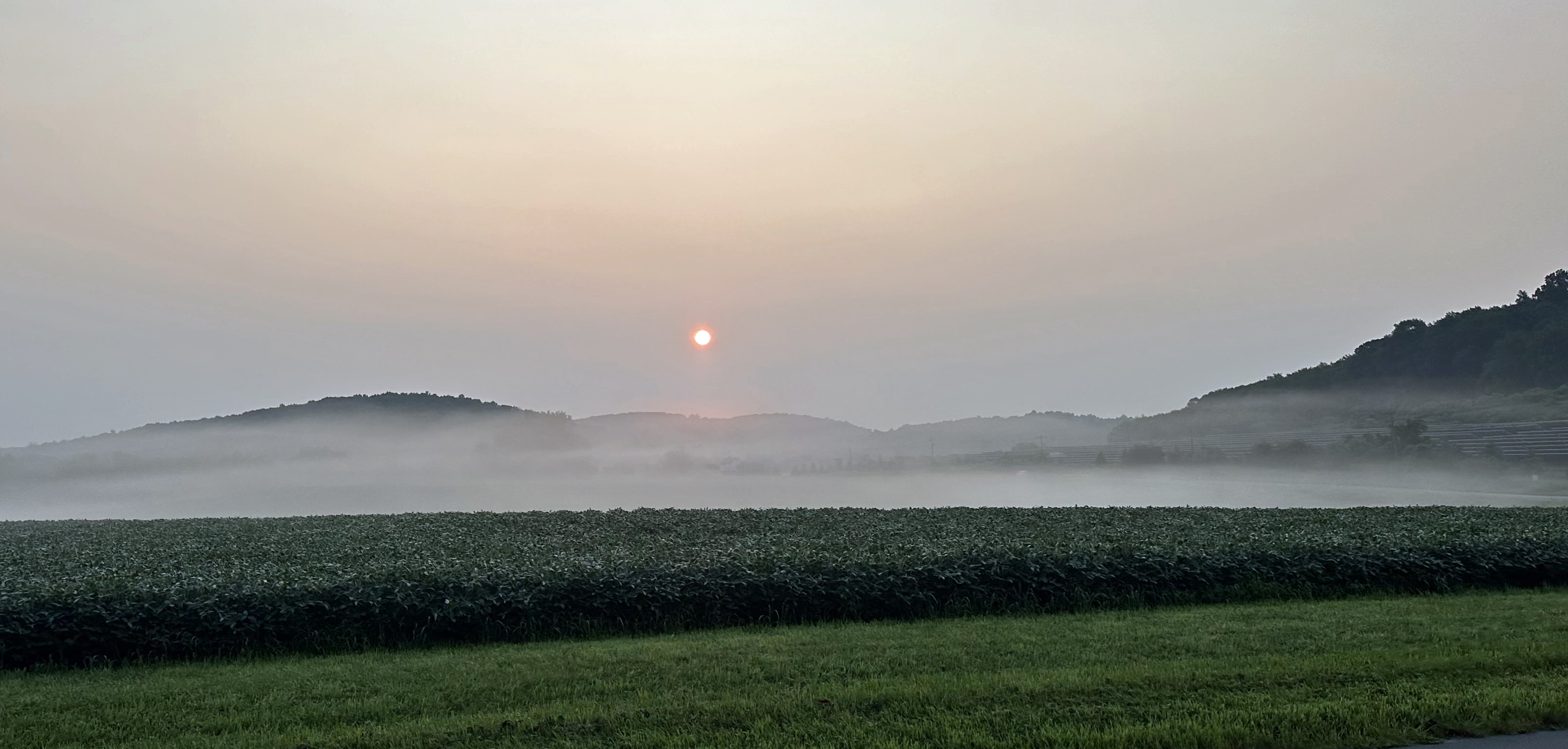
Low-lying fog blankets a farm field in Sparta Township (Sussex County) on the morning of August 16th (photo courtesy of Nick Stefano).

While it is exceedingly rare to see monthly or seasonal temperature departures from normal differ in sign or even notable magnitude between southern and northern portions of New Jersey, such is not always the case for precipitation. This August and summer as a whole exemplify such disparities. While rain was often plentiful in the north, more often than not, the south did not see gauges fill as much or as often. This report will first address August conditions in the Garden State, finishing with a recap of climatological summer (June–August).

August precipitation averaged 6.52” across NJ. This is 1.95” above the 1991–2020 normal and ranks as the 22nd wettest August since records commenced in 1895. The northern climate division (Hunterdon-Somerset-Union and all counties to their north) averaged 8.53”. This is 3.97” above normal and ranks as the 10th wettest. The southern division (Mercer-Middlesex-Monmouth and all but immediate coastal areas to the south) came in at 5.39”. This is 0.82” above normal and ranks 41st wettest of the past 130 Augusts. The coastal division averaged 4.37”, which is 0.23” below normal and ranks 60th wettest (71st driest).

Despite wide-ranging weekly differences, statewide August temperatures were just 0.3° above normal, averaging 73.9°. This ranks as the 30th warmest back to 1895, certainly not near a ranking close to the mid-point of the entire period of record, thus exemplifying how much NJ has warmed over recent decades. The north averaged 72.2° (+0.3°, 28th warmest), the south 75.0° (+0.4°, 30th warmest), and the coast 75.0° (+0.3°, 25th warmest).

Frying Pan Persistence: July 2024 Recap

August 12, 2024 - 4:57pm -- Dave Robinson

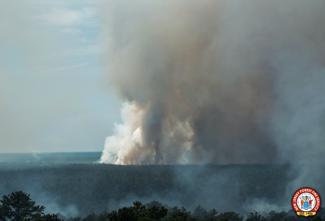
A smoke plume from the early July Tea Time Hill fire in Wharton State Forest (photo courtesy of the NJ Forest Fire Service).

Yet another warmer-than-normal July is in the books. This first sentence is just how last July’s report began. With a statewide average temperature of 77.9°, July 2024 ranked as the 7th warmest since records commenced in 1895. It was 2.5° above the 1991–2010 normal. The average high of 87.8° was 2.1° above normal, ranking 10th warmest. The average low of 68.0° was 2.9° above normal, ranking 3rd warmest. Eight of the ten warmest Julys have occurred since 2010 and ten of fifteen since 1999. Only three Julys in the past 25 years have averaged below the 1991–2010 normal. The June-July average of 75.8° is the second warmest, only exceeded by 76.1° in 2010. The year-to-date average through July of 55.2° also ranks second warmest following 55.7° in 2012. Within the northern climate division, the average was 76.6° (+2.9°, 4th warmest), southern 78.8° (+2.3°, 9th warmest), and coastal 77.7° (+1.5°, 12th warmest). Summing things up, this month’s report title seemed an appropriate choice.

The 4.01” statewide average July precipitation was 0.70” below normal, ranking 52nd driest of the past 130 Julys. The north averaged 4.36” (-0.36’, 59th driest), south 3.77” (-0.97”, 51st driest), and coast 4.12” (-0.26”, 63rd driest).

Scorching: June 2024 and January–June Recaps

July 7, 2024 - 2:17pm -- Dave Robinson

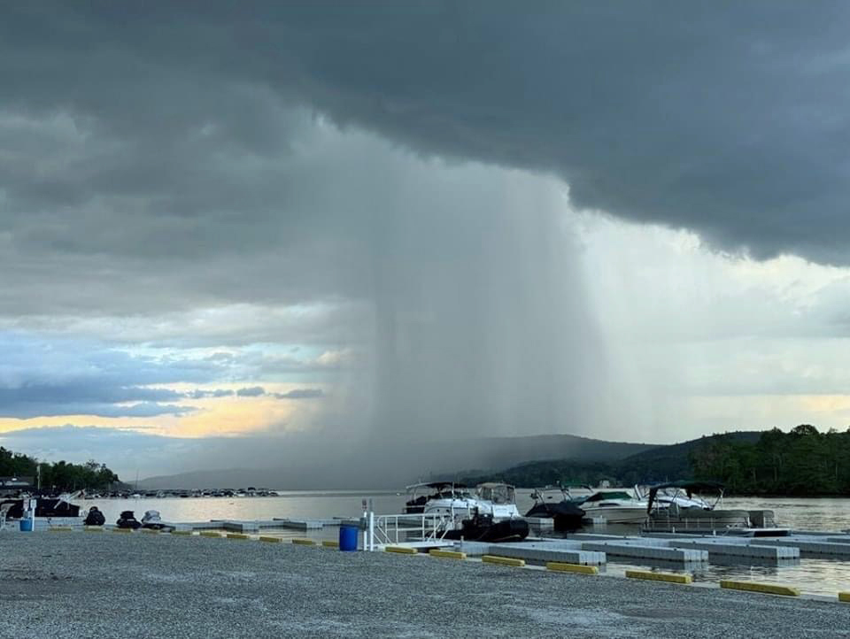
Photo of a rain shaft over lower Greenwood Lake (Passaic County) taken from Hewitt on June 7th (photo courtesy of Rich Stewart).

Above-average temperatures ruled in June. So, what else is new? As will be seen later in this report, the first half of 2024 ranked as the second warmest since statewide records commenced in 1895. June 2024 was also the 7th consecutive month with temperatures above the 1991–2020 average and 10th of the last 12 in that category. June itself came in as New Jersey’s 2nd warmest, tied with 1943 and just behind 2010. Six of the 11 warmest have occurred since 2005. The 73.6° average was 3.3° above normal. The average high of 85.1° was 4.1° above normal, tied for the 2nd warmest, and the average low of 62.0° was 2.4° above normal, ranking 4th warmest. Each of the three NOAA state climate divisions had their 2nd warmest June. The north averaged 71.7° (+3.1°), south 74.8° (+3.4°), and coast 73.8° (+3.3°).

As often occurs during the warm season, the rainfall pattern was a mixed bag as the month progressed and also across the state on any given day. Overall, the state experienced a dry month, with the majority of the state considered Abnormally Dry (D0) in the last US Drought Monitor assessment of the month. With some rain falling after the June 30th approximate 7–8 AM observing time of most National Weather Service Cooperative and Community Collaborative Rain, Hail, and Snow Network (CoCoRaHS) stations, any daytime or evening rain is entered into the record book as falling on July 1st. Thus, the official map below does not include some of the heavy post-observing time heavy rain in Cape May County the morning of the 30th nor rain occurring elsewhere in the state later in the day. For the month, the state average 2.74”, which is 1.56” below normal and ranks 28th driest. The north averaged 2.23” (-2.38”, 13th driest), south 3.07” (-1.07”, 49th driest), and coast 2.84” (-1.01”, 51st driest).

A Little of This, a Little of That/Mild and Damp: May/Spring 2024 Recaps

June 7, 2024 - 5:08pm -- Dave Robinson

A rainbow (note a slight double rainbow) early on the evening of May 15th, looking east from Shawnee, PA, across the Delaware River with the NJ Kittatinny Ridge in the background (photo courtesy of Erin Daly).

As spring turns to summer, all in Jersey can be pleased that water supplies are in good shape. Also, while it took some time to become established, by late May, warmer temperatures brought out summer wardrobes. Spring (March–May) conditions will be covered later in this report, but first a look at May. As the title of the monthly portion of this narrative suggests, May 2024 never established a consistent atmospheric pattern. There were plenty of episodes where light to moderate showers dotted the state, but never a broad soaker. Temperatures fluctuated on a weekly basis, without a persistent leaning until warmth prevailed later in the month. Put it all together and May ended on a green note born of somewhat below-normal precipitation and above-normal temperatures. The statewide average temperature of 63.9° was 2.7° above the 1991–2020 normal. This ranks as the 11th mildest May dating back to 1895. This anomaly was driven by elevated minimum temperatures that averaged 54.0° which is 3.8° above normal and ranks as the 4th warmest on record. This no doubt due to persistent nighttime cloud cover. The average high temperature of 73.7° was 1.4° above normal, ranking 35th warmest. The northern climate division averaged 63.0° (+3.1°, 7th warmest). Across the southern division the average temperature was 64.5° (+2.3°, 13th warmest). The coastal division averaged 63.1° (+2.1°, 11th warmest).

In the End...Rather Normal: April 2024 Recap

May 7, 2024 - 7:32pm -- Dave Robinson

Cherry Blossom trees in full bloom at Branch Brook Park in Newark (Essex County) on April 10th. Photo by Tariq Zehawi/NorthJersey.com.

You would never have guessed it by looking at most days, with some wet, some dry, some warm, some cold, but put it all together and a rather normal April temperature- and precipitation-wise emerged from quite a variety of days and weeks. This is often the case during a transitional month (mid-fall or mid-spring), but this month took it to a bit of an extreme. Toss in a partial solar eclipse and an earthquake and it was quite the month for all who enjoy observing our fascinating world and solar system.

April precipitation averaged 4.14” across New Jersey. This is 0.44” above the 1991–2020 normal and ranks as the 42nd wettest of records dating back to 1895. Generally, the north received more rain than the south. The north climate division averaged 4.59” (+0.69”, 40th wettest), south division 3.89” (+0.31”, 48th wettest), and coastal division 3.65” (+0.10”, 61st wettest).

The year-to-date precipitation (rain and melted frozen precipitation) is 19.86”. This is 5.61” above normal and ranks as the 5th wettest January–April period on record. The top total is 22.98” in 1983 and the second through four wettest occurred in 1979, 1958, and 1953. The past 12 months have seen a state average 56.98” of precipitation, which is the 6th wettest of all such May–April periods dating back to 1895.

The Lion Roars: March 2024 Recap

April 5, 2024 - 8:04pm -- Dave Robinson

Looking south from Island Beach State Park toward Long Beach Island and the Barnegat Lighthouse on March 20th (photo by Dave Robinson).

So much for March flipping from lion to lamb or vice versa. March 2024 was often a lion throughout, with frequent roaring winds and multiple rain events producing a near-record monthly precipitation total and occasional flooding. The first half of the month ran at a record-warm pace, the monthly average later to be tempered by a second half that was cooler than the first. Still, the month emerged as the 9th mildest on record. Befitting the overall mild conditions, snowfall was scarce to non-existent.

Winds gusted to 35 mph or higher at one or more Rutgers NJ Weather Network (NJWxNet) station on 16 days, exceeding 40 mph on 11 of those days. Precipitation (rain and the water equivalent of the very little snow that fell) averaged 7.76” across the state. This is 3.56” above the 1991–2020 normal and ranks as the third wettest March since records commenced in 1895. The northwest was least wet with 6.00”–7.00” falling. Totals increased to the southeast where near coastal areas received 9.00”–10.00”. The northern climate division averaged 7.01” (+3.00, 6th wettest), the southern division 8.15” (+3.83”, 3rd wettest), and the coastal division 8.98” (+4.56, 2nd wettest).

The statewide average March temperature was 46.0°. This is 5.0° above normal and ranks as the 9th mildest of the past 130 years. The average high temperature of 55.6° was 4.7° above normal and ranks 10th mildest. The average low of 36.3° was 5.1° above normal and ranks 4th mildest. The northern division averaged 43.9° (+5.1°, 9th mildest), southern division 47.2° (+4.8°, 8th mildest), and coastal division 47.0° (+4.8°, 7th mildest).

Pages

Subscribe to Front page feed