An Early Winter Sampler: December 2017 Recap and Annual Summary, including the Top 10 Events of 2017

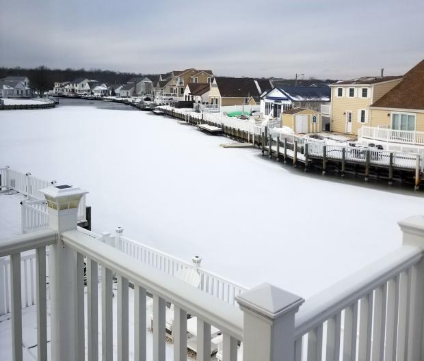
The last month of 2017 was similar to many a month this past year. Whatever the season, weather conditions varied quite a bit from week to week. This was mainly due to an absence of atmospheric blocking in the middle and high latitudes with patterns that can lock a particular weather situation in place for multiple weeks. Thus in December we had a mild week, a snowy week, and a very cold week interspersed with transitional conditions. The one largely absent factor was precipitation, which resulted in the 10th driest December across NJ since records were established in 1895. The 1.57” of rain and melted snowfall was 2.28” below the 1981–2010 average. Snowfall averaged 8.7”, which is 3.9” above average and ranks as the 25th snowiest December on record. It was the snowiest since 2010. North Jersey averaged 8.7” (+2.1”), central areas 7.8” (+2.3”), and the south 9.1” (+4.9”). Temperatures seesawed from week to week, with the monthly statewide average of 33.6° being 1.6° below the 1981–2010 average. This ranked as the 61st coldest or 63rd mildest December on record.

