July

Rainfall Corridors: July 2017 Summary

August 4, 2017 - 4:20pm -- Dave Robinson

Valley fog photo

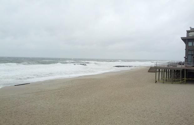
July 2017 proved to be an active month of weather throughout the Garden State. Time and time again, storms traversed the state, often depositing the heaviest rainfall in 30–40 mile west-to-east “corridors,” while elsewhere totals were much lighter. Such is the nature of showery summer rainfall, although in one case, the swath of heavy rainfall was associated with an out-of-season coastal storm. When all was said and done, rainfall occurred frequently enough to leave most locations with average to well above average monthly totals. The statewide average July rainfall was 6.33”. This is 1.76” above the 1981–2010 average and ranks as the 19th wettest July of the past 123 years. Last year with 6.97” (ranking 13th) and 2004 with 7.51” (ranking 8th) were the most recent Julys to be wetter than this year. The statewide average temperature of 75.5° was 0.9° above average. This ranks as the 22nd warmest July on record. There have been nine warmer Julys since 2002, including last year at 77.1° (ranking 7th).

So this is how a normal July feels...

July 27, 2014 - 8:45pm -- Dave Robinson

Beach sunset photo

Another comfortable mid-summer air mass is destined to invade the Garden State this week. This arrives on the heels of several other mild, dry air masses that have contributed to making this a rather average July in the temperature department. While many may think that this has been an exceptionally cool summer, it has not. However, given that the most recent four Julys all ranked within the top six for heat dating all the way back to 1895, all are forgiven for any misperception!

The overall pattern that has led to temperatures more often being on the cool than than warm side of the ledger since last fall is one of pronounced waviness in the jet stream, with a resultant tendency for a ridge (northward swing) in western North America and a trough (dip in the jet) in the east. This allows cool and dry air to infiltrate our region, with warm and humid air kept at bay to the south. It has also kept the west in severe drought and plenty warm.

Heat, Rain, and Tropical Storms: Your Fourth of July Forecast

July 2, 2014 - 2:35pm -- Tom Karmel

Will this 4th of July holiday bring stormy or sunny skies?  (Photo credit: Dan Zarrow, ONJSC, 3/6/13)

The Fourth of July embodies the meaning of summer. Whether on a serene beach in Barnegat Light or in a crowded suburban backyard, New Jerseyans (and all Americans) come together for the day to celebrate our nation through excessive eating, relaxation, fireworks, and sporting the red, white, and blue. We welcome the chance to barbeque with family and friends, and just like any gathering, there is a family member you avoid... Maybe it's the uncle that eats all the food... Or the aunt who chews your ear off with anecdotes... This year, however, you'll have to keep an eye on Mother Nature.

This Friday forecast looms ahead of us with a chance of showers, which is nothing unusual. These storms look as though they should pass around noon, as a cold front advances through our region. However the impending impact of separate tropical system is far from the usual, as Tropical Storm Arthur was officially confirmed Tuesday morning.

As of Wednesday afternoon, Arthur is sitting just off the east coast of Florida and is predicted to accelerate north along the coast reaching Nova Scotia by Saturday. There is a possibility for landfall in North Carolina’s Outer Banks as a hurricane on early Friday morning before turning northeast during the day due to aforementioned front pushing it off the coast. With a bulk of the storm activity on the east side of the circulation, it will most likely not impact our area with rain as it turns away from the coast.

Subscribe to RSS - July