snow

The Lion Roared All Month Long: March 2018 Summary

April 7, 2018 - 3:04pm -- Dave Robinson

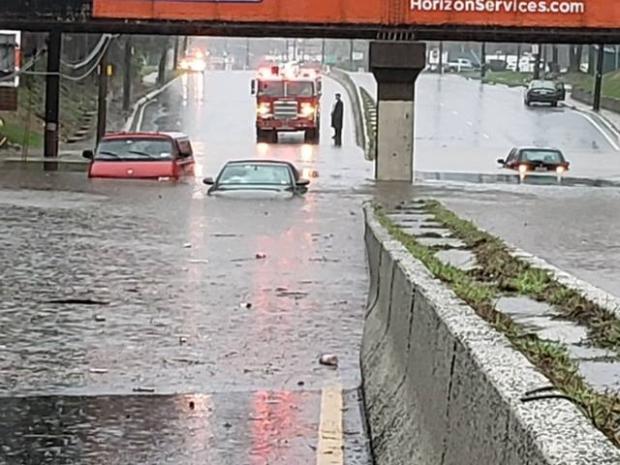
While the first and last few days of the month came in disguised as a lamb, March 2018 was a roaring lion on many occasions. Three nor’easters pounded New Jersey, with a fourth grazing the state, turning more of its wrath on southeastern New England. In true nor’easter fashion, the storms brought minor to moderate coastal flooding, significant beach erosion, powerful winds, heavy rain, and record- to near-record-breaking snowfall. This led to two of the larger power outages since Sandy in 2012, numerous traffic accidents, significant tree damage, frequent school closings, and even someone being injured by lightning during a snowstorm.

Since When Did February Become March?: February 2018 Summary and Winter 2017/2018 Recap

March 6, 2018 - 5:11pm -- Dave Robinson

Snow photo

While the title of this report is guilty of some exaggeration, by just looking at the temperatures across New Jersey the past two Februaries you would not be far off the mark. The mildest February by far occurred in 2017 (40.4°), while this past February 2018 came in second mildest at 39.2°, just edging out 1998. This was 5.8° above the 1981–2010 mean and an impressive 8.3° above the 1895–present mean. The difference between mean periods further illustrates how Februaries in recent decades have been milder overall than earlier in the 20th century. So does the fact that February 2018 was milder than 62 of the past 123 Marches (February 2017 was milder than 70 Marches).

Not to be ignored due to February’s warmth, monthly precipitation certainly delivered in an impressive manner. The average statewide rainfall of 5.97” ranks as the third wettest on record. This is 3.17” above the 1981–2010 mean (2.87” above the period of record mean) and is the wettest February in well over 100 years.

Bitter Cold, a Blizzard, and a Thaw: January 2018 Summary

February 5, 2018 - 5:06pm -- Dave Robinson

Great Falls frozen

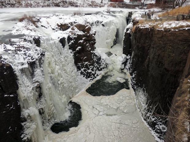
The first month of 2018 was replete with cold, warmth, snow, rain, and stretches of dry weather. First came an impressive episode of subfreezing conditions that began in late December and extended into the second week of January. This interval included a storm that brought over 10” of snow and blizzard conditions to coastal counties. Next was a heavy rain event accompanied by much warmer air, then later in the month, several scattered rain and snow episodes interspersed with dry conditions and some 60° warmth. Something for most everyone, I suppose you could say!

The statewide January mean temperature was 29.2°. This is 1.5° below the 1981–2010 mean and ranks as the 55th coldest January of the 124 since 1895. It was the coldest January since 2015. Precipitation (rain and melted snow) across NJ averaged 2.69”, which is 0.71” below average for the month. This was the 39th driest on record and the lowest total since 2010. January snowfall across the state averaged 8.3”, which was 1.1” above average. Northern counties averaged 7.9” (-1.4”), central ones 6.9” (-1.0”), and the south on top with 9.2” (+3.4”). Through January, this snow season has brought an average of 17.0” (+4.1”) to New Jersey, with the north at 16.6” (-0.8”), central 14.7” (+0.3”), and south 17.0” (+4.1”).

An Early Winter Sampler: December 2017 Recap and Annual Summary, including the Top 10 Events of 2017

January 3, 2018 - 4:09pm -- Dave Robinson

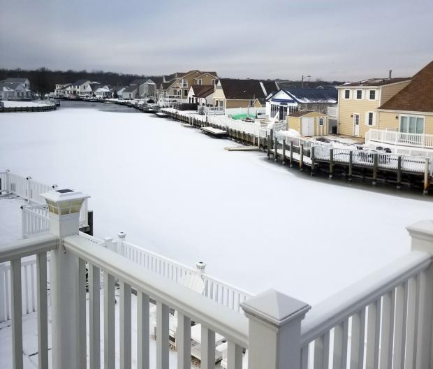
Snow-covered lagoon

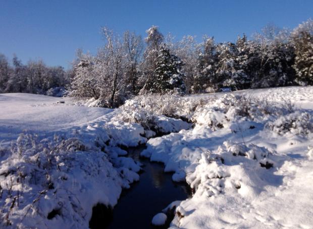
The last month of 2017 was similar to many a month this past year. Whatever the season, weather conditions varied quite a bit from week to week. This was mainly due to an absence of atmospheric blocking in the middle and high latitudes with patterns that can lock a particular weather situation in place for multiple weeks. Thus in December we had a mild week, a snowy week, and a very cold week interspersed with transitional conditions. The one largely absent factor was precipitation, which resulted in the 10th driest December across NJ since records were established in 1895. The 1.57” of rain and melted snowfall was 2.28” below the 1981–2010 average. Snowfall averaged 8.7”, which is 3.9” above average and ranks as the 25th snowiest December on record. It was the snowiest since 2010. North Jersey averaged 8.7” (+2.1”), central areas 7.8” (+2.3”), and the south 9.1” (+4.9”). Temperatures seesawed from week to week, with the monthly statewide average of 33.6° being 1.6° below the 1981–2010 average. This ranked as the 61st coldest or 63rd mildest December on record.

March in February, & Another Mild Season: February and Winter 2016-2017 Recap

March 6, 2017 - 4:26pm -- Dave Robinson

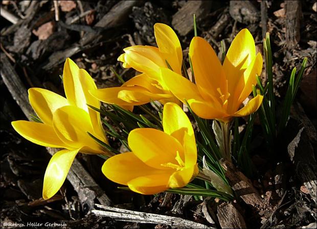
Crocuses photo

On many an afternoon this past February, one had to be reminded that, according to the calendar, we were in the midst of a winter month. While there was a modest snowstorm for central and northern areas on the 9th, there were 11 days, including the day prior to the storm, when temperatures equaled or exceeded 60° at one or more New Jersey locations. The average statewide monthly temperature of 40.1° made February 2017 NJ’s mildest since records commenced in 1895. The average was 6.6° above the 1981–2010 mean and 1.0° above the previous record in 1998. In fact, the 2017 average was only 0.7° lower than the mean for March, and would rank as the 54th mildest (69th coolest) March on record. February precipitation (rain and melted snowfall) averaged 1.70”. This was 1.10” below the 30-year mean and ranks as the 11th driest on record. Only the storm on the 9th delivered more than an inch of rain or melted snow to some observing stations around the state.

The Weather Would Not Sit Still: January 2017 Recap

February 6, 2017 - 10:51pm -- Dave Robinson

Rough surf photo

A progressive weather pattern dating back to last fall continued to hold serve across the eastern US in January. This resulted in temperatures swinging between mild and cold levels and unsettled weather systems moving through often enough to bring precipitation levels close to average but, with one notable exception, not staying around too long to wreak havoc. Overall, it was a mild month, with a statewide average temperature of 36.2°, which is 5.5° above the 1981–2010 mean. This ranks as the 12th mildest January since 1895. It is interesting to note that while 10 of New Jersey’s warmest 15 years have occurred since 2000 and 14 of 15 since 1990, Januaries have not as often kicked off these warm years as much as one might imagine. Only 5 of the 15 mildest Januaries over the 123 year record have occurred since 2000 and just 8 of the 15 mildest since 1990.

A Winter Sampler: January 2016 Recap

February 8, 2016 - 10:35am -- Dave Robinson

Snow

While average monthly temperature and precipitation (rain and melted snow) did not vary much from their long term averages, January 2016 certainly had enough of a potpourri of atmospheric conditions to satisfy (or displease) most anyone in the Garden State. Temperatures ranged from 67° to -2°, a storm deposited as much as 2.35" of rain, and a blizzard dumped record-breaking snow in several locations and caused moderate to major flooding, especially in south Jersey coastal communities.

The statewide monthly average temperature of 31.1° was 0.1° below the 1981–2010 normal and ranked as the 66th coldest since 1895. The temperature averaged 16.7° colder than the record-shattering December 2015 warmth. This is not a record for a December to January swing in temperature, nor for several other monthly pairs too, however it ranks among the largest. Precipitation averaged 3.65", which is 0.17" above normal and 44th wettest. Statewide snowfall averaged 20.0". This was 12.1" above normal and ranks as the 7th highest since 1895 and the largest since the record 23.1" total in 2011. The north received 20.4", which is 11.1" above normal and ranks 13th largest for January, 23.1" (+15.3") fell in central NJ, ranking 5th greatest for the month, and the south averaged 18.2" (+12.5") tied for the 4th highest January total.

For Second Consecutive Year, Winter is Slow to Relinquish Its Grip: March 2015 Recap

April 6, 2015 - 5:25pm -- Dave Robinson

Snow on March 5

For the second consecutive year, March served as a meteorological exclamation point on an active cold and snowy season. As in 2013/14, this season had below-average November temperatures, milder-than-average December readings, and below-average January, February, and March tallies. The March temperature this year averaged 35.8°, which is 5.3° below normal and ranks as the 14th coldest since 1895.

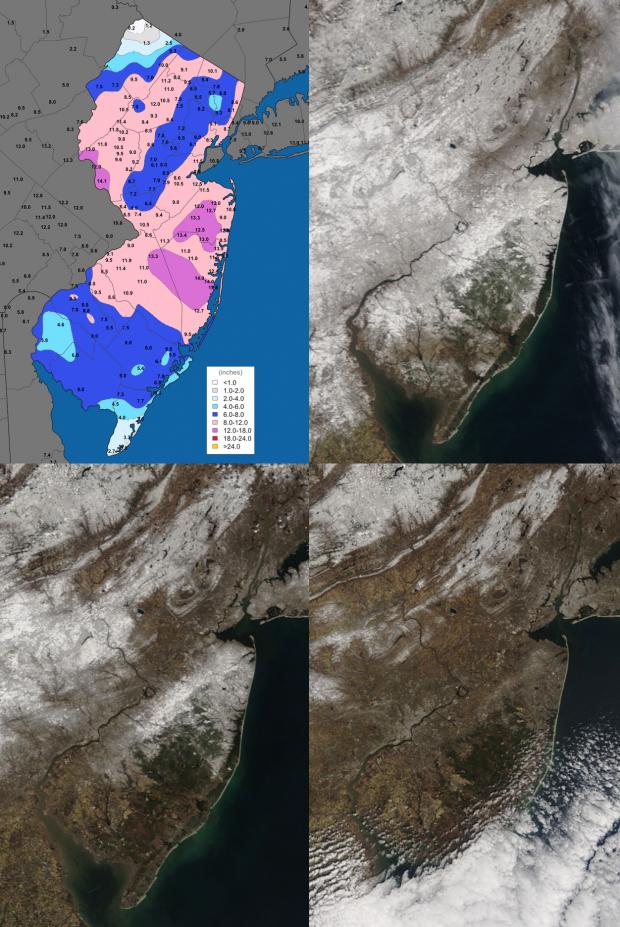
This was also the snowiest March statewide and in central NJ since 1993. The northern counties averaged 13.6" (which is 7.5" above normal), the central region was at 14.9" (+10.0"), and the southern counties 8.6" (+5.6"). The state as a whole averaged 11.5" (+7.2"), which is the 13th snowiest March on record. For the season through March snowfall statewide has averaged 34.5" (+8.4"), with the north 50.5" (+15.8"), central 41.4" (+14.4"), and south 22.3" (+2.3"). This is the northern division's first back-to-back 50"+ seasons since the winters of 1903/04 and 1904/05.

March rain and melted snow accumulated to a statewide average of 4.95". This is 0.72" above normal and ranks as the 32nd wettest.

Bitter Cold: February 2015 Recap and Winter 2014-2015 Review

March 7, 2015 - 4:09pm -- Dave Robinson

High Point Monument photo

It will come as no surprise to those reading this report that February 2015 was one of the coldest months on record in the Garden State. The average temperature of 22.0° (11.8° below average) made this month the 3rd coldest February and 6th coldest (tied) of any month since statewide records commenced in 1895. Colder Januaries include 1918 (19.9°), 1977 (20.2°), and 1912 (21.9°), with 1940 equal to this past February.

Statewide, melted snow, ice, freezing rain, and plain rain amounted to 2.34". This was 0.52" below average and ranks as the 32nd driest February. There were five events where snow fell to a depth of 2" or more at one or more locations, however there was no statewide "blockbuster" storm. NJ February snowfall averaged 12.3", which is 4.2" above normal. The northern third of the state averaged 16.3" (+6.2"), central area 12.6" (+3.6"), and southern third 10.1" (+3.5"). The ground remained snow covered throughout the month in northern and central regions, consistently at a depth exceeding 10" in the north and closer to 5" in central areas.

The New Jersey Snow Season: A Mid-February Report Card

February 15, 2015 - 5:47pm -- Dave Robinson

Snow plowing photo

As New Jerseyans shiver through a second month of below-average temperatures and a second consecutive colder-than-average winter, it is worth seeing how the state is doing in the snowfall department this season. The brief answer is twofold: first, nowhere is it nearly as snowy as last winter, and second, this year is a tale of a state with a split snow personality.

By this time last winter, folks were talking about challenging the 1995-96 winter for top snowfall honors dating all the way back to 1895. As it turned out, the bulk of winter snow had fallen north of Interstate 195 by mid to late February, while south Jersey experienced a snowy March. Statewide, the 2013-14 winter snowfall averaged 54.3”, which was 28.2” above normal and ranked as the 7th snowiest on record. It was the 4th snowiest on record in northern counties, 6th in central NJ, and 14th in the southern third.

Pages

Subscribe to RSS - snow