Monthly Summaries

A Return to Hot Julys After a Two-Year Respite; Awfully Wet Too: July 2016 Recap

August 3, 2016 - 5:01pm -- Dave Robinson

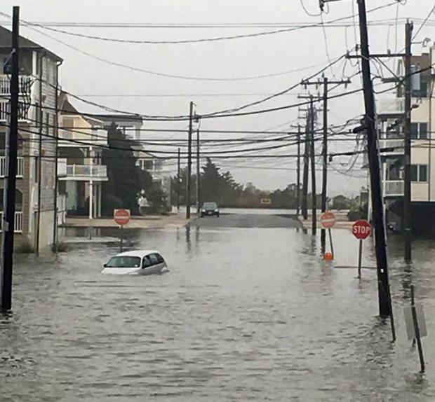
Flooding photo

The second half of the 2016 NJ weather and climate year began with plenty to talk about. Maximum temperatures were 90° or higher somewhere in the state on 20 afternoons. This, along with many warm nights, helped boost the mean monthly temperature into the top 10, based on statewide records back to 1895. Yet, remarkably, this was only NJ’s 5th warmest July in the past 11 years. The 77.2° mean was 2.2° above the 1981–2010 average.

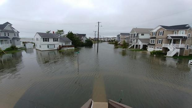
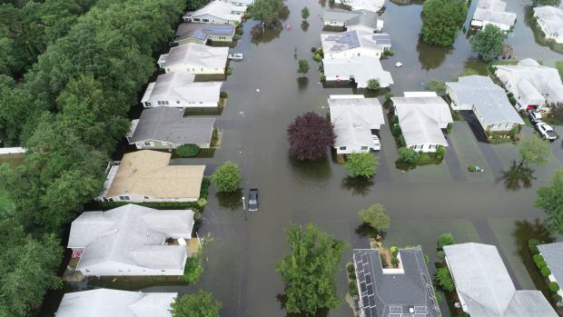
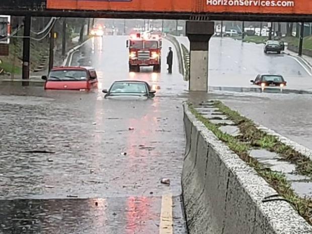
On 15 July days an inch or more of rain fell somewhere in NJ. This included eight days with greater than 2” in spots and four days where a few locations exceeded 4”. Statewide, the average rainfall was 6.85”. This was 2.33” above average and ranks as the 14th wettest July since 1895. It was the wettest July since 2004, and the 4th wettest in the past 41 years. The northern half of the state (Mercer/Somerset/Union northward) averaged 7.27” (+2.49”, 14th wettest), while the southern region averaged 6.77” (+2.38”, 12th wettest). This all came in a month where the northern half of the state remained classified as being in moderate drought (D1) on the US Drought Monitor, with about half of south Jersey considered abnormally dry (D0). Also, on July 26th the NJ Department of Environmental Protection placed the northern half of the state in a drought watch. These actions were the result of notable rainfall deficits dating back to the early spring, with the warmth of the month exasperating low soil moisture, stream flow, ground water, and reservoir conditions. Clearly, the late-month heavy rainfall in a good portion of the state warrants a re-evaluation of drought status as NJ heads into August.

Rather Dry, but Still Some Storms: June 2016 Recap

July 6, 2016 - 1:58pm -- Dave Robinson

Tipped helicopter

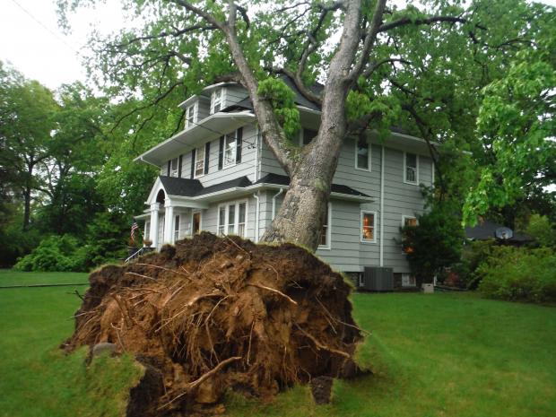
Despite some damaging storms impacting portions of New Jersey on several days and some localized deluges near month’s end, June rainfall came in well below average. The statewide average of 2.36” was 1.66” below the 1981–2010 average. This ranks as the 20th driest June since 1895. Northern and central counties were generally drier than those to the south. At month’s end, the counties from Hunterdon, Somerset, and northern Middlesex northward were classified as being in “moderate drought,” the D1 category on the US Drought Monitor. The counties to the south, through Ocean and Burlington, were in the Monitor’s “abnormally dry” D0 category. June stream flow, ground water, and precipitation levels were all well below average, while reservoir capacities in the north began to dip below average near the end of the month.

Temperatures began on the cool side, but the second half of the month was warm enough to bring the statewide average June temperature to 70.6°, which was 0.5° above average. This ranks as the 30th mildest June on record. There was one minimal heat wave at some inland lower-elevation locations, where temperatures climbed to 90° or higher from the 19th–22nd. However, no location exceeded 93° this month. The dry conditions helped to rid the atmosphere of the previous day’s warmth during the nighttime hours, thus temperatures of 45° or lower were observed in spots on seven mornings.

Spring Warmth Arrives Early: March 2016 Recap

April 4, 2016 - 7:53pm -- Dave Robinson

Mild and dry conditions prevailed throughout the Garden State during most of March. This included record-breaking early-season warmth, only one event that dropped more than an inch of rain over multiple locations, and a few minor forest fires. There were also two episodes of measurable snow that focused on coastal counties and 11 days where winds gusted to 40 mph or higher somewhere in the state. The statewide average temperature of 46.7° was 5.6° above the 1981–2010 average. This ranks as the 6th mildest March since 1895. Precipitation averaged 2.09”. This is 2.14” below normal and ranks as the 13th driest March.

March snowfall average 2.4” across the state, which is 1.9” below average. Northern counties saw only 0.8”, which is 5.3” below normal, while the central portion of the state received 1.6” (3.3” below normal). The southern counties were the winners, averaging 0.7” above normal at 3.7”. While snow may fall in April (the morning of April 3rd saw 2.7” at Highland Lakes [Sussex County]), a look at what are likely close to the final seasonal totals includes a statewide average of 27.9”, which is 1.8” above normal. North Jersey took it on the chin, with an average of 26.3”, some 8.4” below average. Central NJ was the winner at 31.0”, 4.0” above normal. Meanwhile the south Jersey total of 27.1” exceeded that of the north, even in an absolute sense, and was 7.1” above normal.

Volatility Reigns: February 2016 and 2015/2016 Winter Recaps

March 7, 2016 - 7:10pm -- Dave Robinson

Fire photo/radar combo graphic

Much like this past January, the second month of 2016 had considerable swings and occasional extremes in temperature and precipitation. This included a brief, exceedingly cold mid-month outbreak with subzero wind chills and a late-month evening with severe thunderstorms bringing strong winds, hail, and flash flooding across NJ. A key indicator of the volatile weather pattern was the wind, which on 13 days gusted to 40 mph or higher somewhere in the state, with five of these days gusting to at least 50 mph. The statewide average temperature was 35.6°, which is 1.8° above the 1981–2010 normal. This ranks as the 19th mildest February since 1895. Precipitation (rain and melted snow) averaged 4.21”. This is 1.35” above normal and ranks as the 24th wettest. Snowfall was below normal, with a statewide average of 5.1”. This is 3.0” below normal and ranks as the 52nd least snowy of the past 122 Februaries. Northern counties tallied only 4.6” (-5.5”), the central region 6.3” (-2.7”), and the south 4.7” (-1.9”).

Unseasonably Mild and Dry: November and Fall 2015 Recaps

December 4, 2015 - 4:11pm -- Dave Robinson

Sunset picture

The climatological fall season ended on a mild note, with the statewide November average temperature of 49.3° coming in at 3.7° above normal. This ranks as the 5th mildest November on record, tied with 1948. Observations go back 121 years to 1895, yet five of the nine warmest Novembers have occurred since 2001. The month had an abundance of sunny days, during what is commonly a rather cloudy time of the year. Precipitation averaged 2.33” across NJ, which is 1.31” below normal and ranks as the 41st driest November. Only two significant rain events occurred during the mid-month interval.

Near Record Warmth and Quite Dry…until the 30th: September 2015 Recap

October 4, 2015 - 3:30pm -- Dave Robinson

Wildfire photo

The ninth month of 2015 served as a bookend of sorts to an extended warm season. The average statewide temperature of 70.7° was 4.5° above the 1981–2010 normal and ranks as the 3rd warmest on record (since 1895). This ranking is the same as that achieved in May, with the intervening months all above average, though not nearly as much so as these shoulder months. Five of the ten warmest Septembers have occurred since 2002. A look back at the past five months finds that this most recent May through September interval was the third warmest on record. Even more notable than the recent run of warm Septembers, eight of the top ten warm seasons occurred within the last 18 years and four within the last six years.

What had been a rather dry month with drought concerns ended on a damp note on the 30th with a wet episode that extended into early October. Through the 29th, the month ranked as the 14th driest. However, an approximate statewide-average rainfall of 1.50” on the 30th brought the monthly average to 3.44” (-0.63”) and with it the rank of 63rd driest.

Consistently Warm and a Mixed Distribution of Precipitation: August & Summer 2015 Recaps

September 2, 2015 - 9:58pm -- Dave Robinson

Dry Reservior

This month had quite a variety of weather conditions around the state. This resulted in some areas experiencing flash flooding and others encroaching drought conditions. Damage resulted from the flooding and one storm even produced a nocturnal “heat burst.” Some minor brush fires and declining river, ground water, and reservoir levels accompanied subnormal rain totals. The dry conditions helped produce some wide daily swings from cool nighttime temperatures to consistently warm daytime maximums. Preliminary values show August 2015 to have a statewide average rainfall of 2.18”. This is 2.03” below normal and ranks as the 13th driest since statewide records commenced in 1895 (Table 1). The 74.5° average temperature was 1.1° above the 1981–2010 mean and ranks 21st warmest.

A Cool August and a Warm and Wet Summer of 2013

September 2, 2013 - 12:00am -- Dave Robinson

Tornado Damage

After two warm and wet months to start off the summer of 2013, August provided an about face in the temperature department. The 71.6° statewide mean is 1.8° below the 1981-2010 average and ranks as the 41st coolest August since statewide records commenced in 1895. It was only 0.1° warmer than this past June. Precipitation averaged 4.50", which is 0.29" above normal and makes this the 51st wettest of the past 119 Augusts.

What a change from July. There were only four afternoons when the temperature was 90° or higher somewhere in the state, compared with 18 in July. The warmest it got was 93° at Harrison (Hudson County) on the 21st and only nine stations reached 90° at some point during the month, compared to most of the 50 NJWxNet stations reaching that mark in July.

Record Wet June and Mid-Year Recap

July 1, 2013 - 12:00am -- Dave Robinson

Raritan River flooding

Rain, rain and, more rain was the theme for New Jersey weather in June 2013. When all was said and done, statewide average precipitation totaled 9.57", a record for any June back to 1895 (Table 1). Temperatures were above average too. The average of 71.3° was 1.2° above the 1981-2010 mean and ranked as the 19th warmest June. These averages are derived from an evaluation of several dozen long-term National Weather Service Cooperative Observing (Coop) stations situated throughout the state.

More on thermal conditions later in this report, but first back to the precipitation. The 9.57" total was 5.55" above the 4.02" average. Tropical Storm Andrea brought the most abundant rain of the month, but there were 13 days during the month when an inch or more accumulated at one or more locations. A point of information is warranted here. While over an inch fell in some locations on the afternoon of the 30th, most Coop observers had already reported for the day, as had Community Collaborative Rain, Hail and Snow Network (CoCoRaHS) observers. Most take measurements close to 7 AM, with the historic rule being that the morning observation "ends" that particular calendar day. Thus any rain after that time on the last day of a month is reported on the 1st of the following month. While this practice can be debated, one can only compare June 2013 with previous Junes by following suit.

Pages

Subscribe to RSS - Monthly Summaries