Record wet

The Lion Roars: March 2024 Recap
April 5, 2024 - 8:04pm -- Dave Robinson

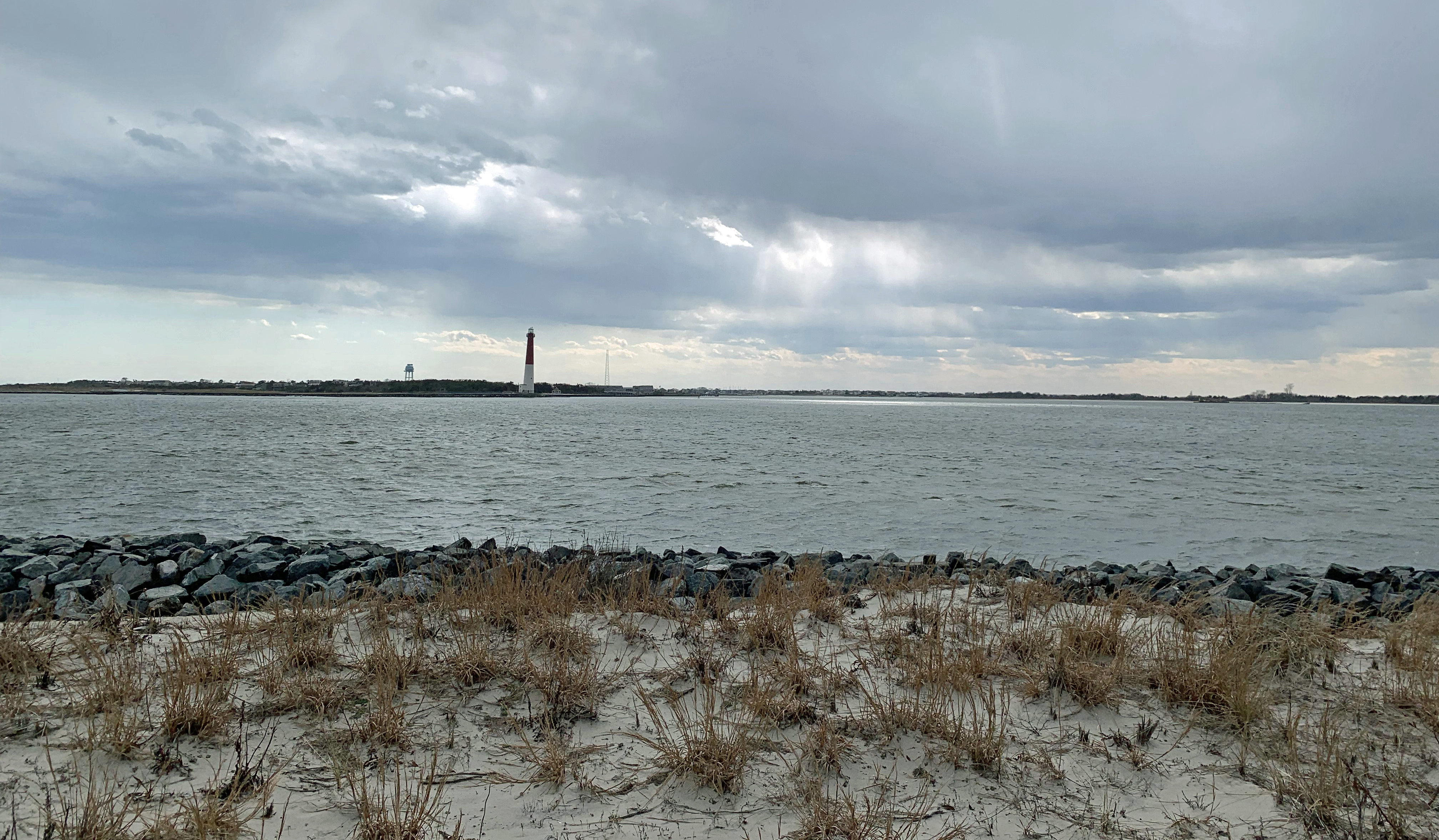
Looking south from Island Beach State Park toward Long Beach Island and the Barnegat Lighthouse on March 20th (photo by Dave Robinson).

So much for March flipping from lion to lamb or vice versa. March 2024 was often a lion throughout, with frequent roaring winds and multiple rain events producing a near-record monthly precipitation total and occasional flooding. The first half of the month ran at a record-warm pace, the monthly average later to be tempered by a second half that was cooler than the first. Still, the month emerged as the 9th mildest on record. Befitting the overall mild conditions, snowfall was scarce to non-existent.

Winds gusted to 35 mph or higher at one or more Rutgers NJ Weather Network (NJWxNet) station on 16 days, exceeding 40 mph on 11 of those days. Precipitation (rain and the water equivalent of the very little snow that fell) averaged 7.76” across the state. This is 3.56” above the 1991–2020 normal and ranks as the third wettest March since records commenced in 1895. The northwest was least wet with 6.00”–7.00” falling. Totals increased to the southeast where near coastal areas received 9.00”–10.00”. The northern climate division averaged 7.01” (+3.00, 6th wettest), the southern division 8.15” (+3.83”, 3rd wettest), and the coastal division 8.98” (+4.56, 2nd wettest).

The statewide average March temperature was 46.0°. This is 5.0° above normal and ranks as the 9th mildest of the past 130 years. The average high temperature of 55.6° was 4.7° above normal and ranks 10th mildest. The average low of 36.3° was 5.1° above normal and ranks 4th mildest. The northern division averaged 43.9° (+5.1°, 9th mildest), southern division 47.2° (+4.8°, 8th mildest), and coastal division 47.0° (+4.8°, 7th mildest).

The Wet Bandits Strike/Warmth with Precipitation Indecision: December/Annual 2023 Report

January 5, 2024 - 11:31am -- Dave Robinson

Flooding from the nearby Pompton River in Wayne (Passaic County) on December 19th, 2023. Photo by Julian Leshay/NJ Advance Media.

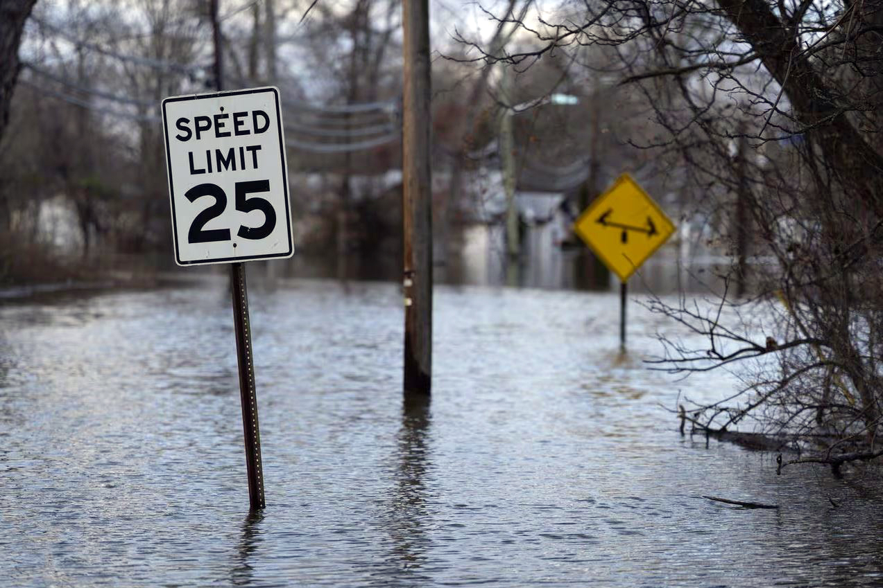
It was a wet December, of this there is no doubt. In fact, it was New Jersey’s wettest 12th month on record, dating back to 1895. On multiple occasions, rainfall arrived in multiple-inch increments, leading to episodes of minor to major stream and river flooding. Though hardly maliciously, Mother Nature certainly left the tap flowing far too long and often!

Monthly rainfall (with a little melted snowfall added to the mix in some locations) averaged 8.20” across the state (Figure 1). This was 3.93” above the 1991–2020 normal and was 0.33” above the previous wettest December in 1996 (Table 1). Precipitation averaged 8.51” (+4.26”, 3rd wettest) in the northern climate division (Hunterdon-Somerset-Union northward), 8.02” (+3.74”, 2nd wettest) over the southern division (Mercer-Middlesex-Monmouth mostly southward), and 7.88” (+3.52”, 2nd wettest) in the coastal division (generally east of the Garden State Parkway from Monmouth to Cape May).

Plenty Green: June 2019 Recap

July 8, 2019 - 5:04pm -- Dave Robinson

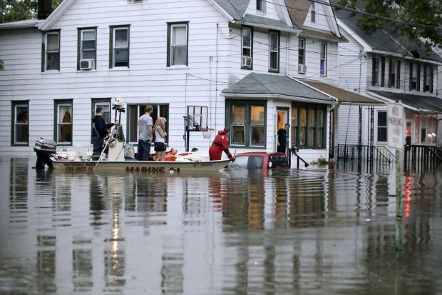
Flash flood photo

The moist and mild pattern of late spring and early summer has left the Garden State quite green. There is nothing new to this pattern, as the first six months of 2019 totaled 27.22” of rain and melted snowfall, some 4.92” above the 1981–2010 mean, and a 49.0° average temperature, which is 1.3° above average. Each of these ranks 13th highest of the past 125 years.

Even more impressive, the past 12 months have seen 10 wetter than average and 10 warmer than average. The two drier-than-average months (March and April) were closer to their 30-year mean than any of the wetter ones. The precipitation total for the past 12 months is 65.28”. This is the second wettest 12-month period on record out of all 1483 12-month periods dating back to 1895. The wettest was 66.62” for the period ending this past January. The majority of the top 20 such periods have occurred this decade. They have included the two wettest calendar years on record (2018 and 2011) and appear to have lasted longer than earlier wet intervals. Meanwhile, the warmth of the past 12 months (54.5°) would rank as the 9th warmest calendar year but not within the top 20 for any 12-month period.

A Fitting Finale: December 2018 Recap and Annual Summary, including the Top 10 Events of 2018

January 7, 2019 - 1:58pm -- Dave Robinson

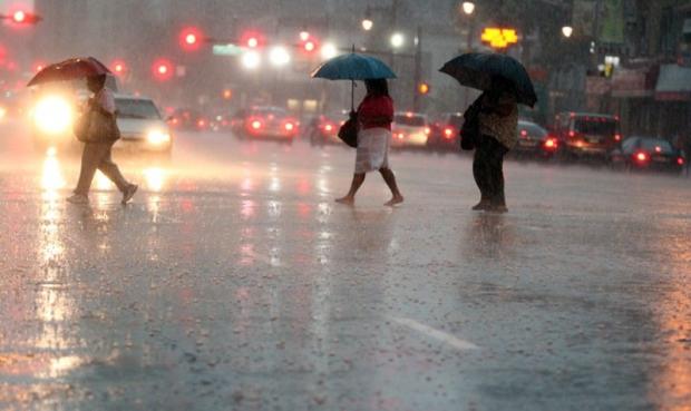
Rainy street

It is appropriate that the weather of last month of 2018 was rather similar to many earlier months in the year. Statewide, precipitation was above average for the 10th month of 2018 and the temperature was above average for the 8th month. This resulted in the year being the wettest on record and the 11th warmest since statewide observations began being calculated in 1895.

December precipitation totaled 5.38”. This is 1.53” above the 1981–2010 average and ranks as the 20th wettest (tied with 2007). Snowfall averaged 1.0”, which is 3.9” below average and the 31st least snowy December since 1895. The only notable snowfall was across a swath of south Jersey on the 5th, leading to a south Jersey monthly average of 1.7”. This is 1.9” below average and ranks as the 55th least snowy December. Northern counties averaged 0.6” for the month, some 6.0” below average and ranking 19th least snowy. Central counties came in without any measurable snowfall. This is 5.5” below average and joins ten other Decembers of the past 124 years without measurable snow, four of which have been this century (2001, 2006, 2011, and 2015).

The average statewide temperature was 37.5°. This is 2.3° above the 1981–2010 average and ranks as the 18th mildest December of the past 124 years (tied with 1972 and 1991).

Subscribe to RSS - Record wet