Cold

Endless Spring: May and Spring 2020 Recaps

June 7, 2020 - 6:34pm -- Dave Robinson

In recent years, many a comment has been heard that New Jersey just does not have a spring season any more. We go right from winter to summer weather, people say. The same cannot be said for spring 2020. A seasonal summary follows at the end of this report and the individual March and April reports can be found on the state climate office website. To begin here, the talk will be of May, a month that produced both less rain and cooler temperatures than normal and included an unusual appearance of snow.

The statewide average temperature of 58.9° was 1.7° below the 1981–2010 normal. This ranked as the 40th coolest May since records commenced in 1895. April and May marked the first time since December 2017–January 2018 that consecutive months had below-average temperatures. Statewide, May precipitation averaged 2.50”. This was 1.49” below normal and ranked as the 29th driest on record.

Bitter Cold, a Blizzard, and a Thaw: January 2018 Summary

February 5, 2018 - 5:06pm -- Dave Robinson

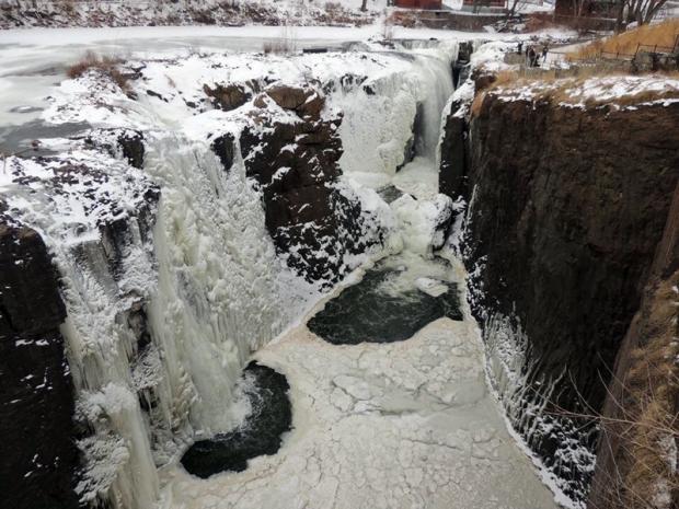
Great Falls frozen

The first month of 2018 was replete with cold, warmth, snow, rain, and stretches of dry weather. First came an impressive episode of subfreezing conditions that began in late December and extended into the second week of January. This interval included a storm that brought over 10” of snow and blizzard conditions to coastal counties. Next was a heavy rain event accompanied by much warmer air, then later in the month, several scattered rain and snow episodes interspersed with dry conditions and some 60° warmth. Something for most everyone, I suppose you could say!

The statewide January mean temperature was 29.2°. This is 1.5° below the 1981–2010 mean and ranks as the 55th coldest January of the 124 since 1895. It was the coldest January since 2015. Precipitation (rain and melted snow) across NJ averaged 2.69”, which is 0.71” below average for the month. This was the 39th driest on record and the lowest total since 2010. January snowfall across the state averaged 8.3”, which was 1.1” above average. Northern counties averaged 7.9” (-1.4”), central ones 6.9” (-1.0”), and the south on top with 9.2” (+3.4”). Through January, this snow season has brought an average of 17.0” (+4.1”) to New Jersey, with the north at 16.6” (-0.8”), central 14.7” (+0.3”), and south 17.0” (+4.1”).

For Second Consecutive Year, Winter is Slow to Relinquish Its Grip: March 2015 Recap

April 6, 2015 - 5:25pm -- Dave Robinson

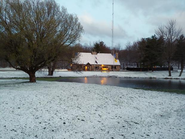
Snow on March 5

For the second consecutive year, March served as a meteorological exclamation point on an active cold and snowy season. As in 2013/14, this season had below-average November temperatures, milder-than-average December readings, and below-average January, February, and March tallies. The March temperature this year averaged 35.8°, which is 5.3° below normal and ranks as the 14th coldest since 1895.

This was also the snowiest March statewide and in central NJ since 1993. The northern counties averaged 13.6" (which is 7.5" above normal), the central region was at 14.9" (+10.0"), and the southern counties 8.6" (+5.6"). The state as a whole averaged 11.5" (+7.2"), which is the 13th snowiest March on record. For the season through March snowfall statewide has averaged 34.5" (+8.4"), with the north 50.5" (+15.8"), central 41.4" (+14.4"), and south 22.3" (+2.3"). This is the northern division's first back-to-back 50"+ seasons since the winters of 1903/04 and 1904/05.

March rain and melted snow accumulated to a statewide average of 4.95". This is 0.72" above normal and ranks as the 32nd wettest.

Bitter Cold: February 2015 Recap and Winter 2014-2015 Review

March 7, 2015 - 4:09pm -- Dave Robinson

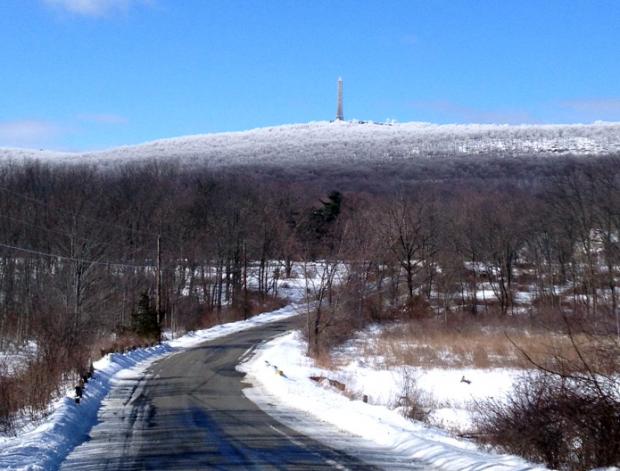
High Point Monument photo

It will come as no surprise to those reading this report that February 2015 was one of the coldest months on record in the Garden State. The average temperature of 22.0° (11.8° below average) made this month the 3rd coldest February and 6th coldest (tied) of any month since statewide records commenced in 1895. Colder Januaries include 1918 (19.9°), 1977 (20.2°), and 1912 (21.9°), with 1940 equal to this past February.

Statewide, melted snow, ice, freezing rain, and plain rain amounted to 2.34". This was 0.52" below average and ranks as the 32nd driest February. There were five events where snow fell to a depth of 2" or more at one or more locations, however there was no statewide "blockbuster" storm. NJ February snowfall averaged 12.3", which is 4.2" above normal. The northern third of the state averaged 16.3" (+6.2"), central area 12.6" (+3.6"), and southern third 10.1" (+3.5"). The ground remained snow covered throughout the month in northern and central regions, consistently at a depth exceeding 10" in the north and closer to 5" in central areas.

Just How Cold Has It Been?

February 25, 2015 - 4:21pm -- Dave Robinson

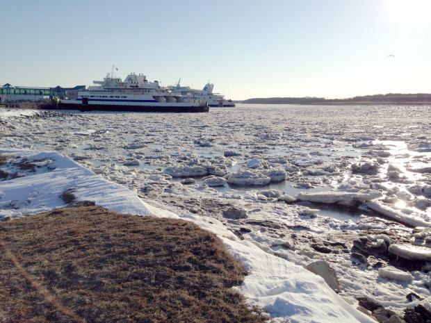
Icy Cape May

The answer: remarkably cold! As if anyone living in New Jersey has any doubt. February 2015 is destined to be one of the coldest months since statewide records commenced in 1895. As observations currently stand, along with projections through month’s end, this will likely be the second coldest February and the fourth coldest of any January or February. Table 1 lists the ten coldest Februaries, based on observations gathered from several dozen stations throughout NJ. Looking north and south, it appears as if this will be the second coldest February in the north (Hunterdon, Somerset, and Union counties northward) and third coldest in the south. This is in line with the coldest core being situated over New England and the added chilling effect of the ground being snow covered throughout the month in the north, while only being so over the last two weeks down south. The two colder Januaries were in 1918 (19.9°) and 1977 (20.2°).

Relentless Winter: February 2014 Summary and Winter 2013/14 Summary

March 4, 2014 - 12:00am -- Dave Robinson

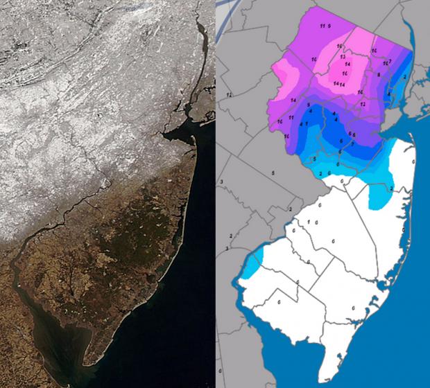
Snow Cover Map

One of the more disruptive winters in recent decades continued during February, erasing the hopes of many for an early spring. Averaged across New Jersey, the monthly temperature of 29.5° was 4.3° below normal. This made for the 35th coldest February over the past 120 years and the coldest since 2007. Temperatures ranged from a low of -18° at Walpack in snow covered Sussex County valley on the 11th and 12th to a high of 67° at several southern locations on the 21st. The statewide average precipitation of 5.26" made for the 20th wettest February on record. This includes both rainfall and the liquid equivalent of frozen precipitation, and is 2.40" above normal. Snowfall averaged 21.9" across the state, which is 13.9" above normal and ranks as the 7th snowiest of the past 120 Februaries.

Cold and Snow: January 2014 Summary

February 1, 2014 - 12:00am -- Dave Robinson

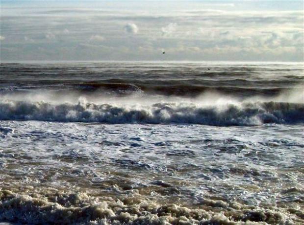
Sea smoke photo

The year began where 2013 left off, with the jet stream in an amplified, progressive pattern that resulted in frequent, pronounced fluctuations in temperature and multiple precipitation events. By late month, the pattern slowed, but remained amplified, locking NJ into over a week of bitter cold conditions. The statewide average temperature for January was 26.1°, which is 5.1° below the 1981-2010 average and ranks as the 17th coldest since 1895 (120 years). It was the coldest January since 2004. Precipitation in the form of rain, freezing rain, and melted snowfall averaged 3.09". This is 0.39" below normal and ranks as the 57th driest. Snowfall averaged 17.7", which is 10.6" above normal and ranks at the 8th snowiest January on record.

Subscribe to RSS - Cold