Hail

Transition Complete: May and Spring 2022 Recaps
June 7, 2022 - 1:31pm -- Dave Robinson

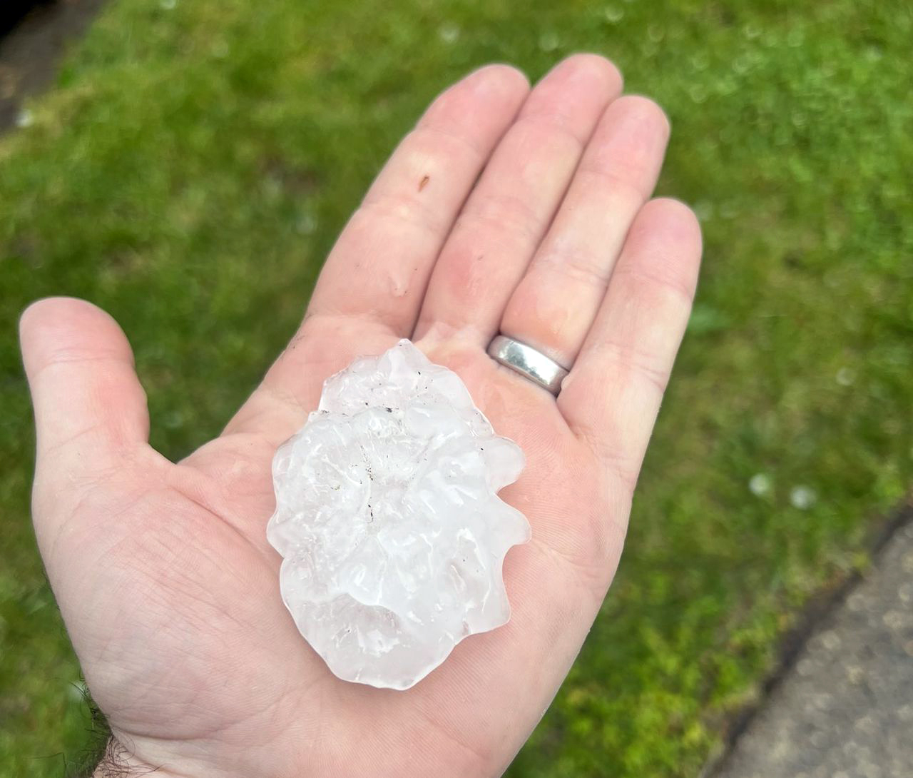
Large hailstone from severe thunderstorm in Cherry Hill on May 20.

Many across NJ wondered if the incessant back and forth of weather conditions from early spring into May would ever cease and the more consistent warmth of late spring would arrive and persist. It took time this year, with a cool, damp start to May that included a nine-day interval of almost continuous onshore easterly flow. Come mid-month the seasonal transition was finally complete, and daytime highs mostly remained above 70° away from the coast and higher elevations. This included two episodes where temperatures exceeded 90°. Whether it was cool or warm, rainfall was rather plentiful through most of the month. Seven events produced an inch or more at multiple locations, two of which found some spots exceeding 3.00”.

The statewide average temperature was 63.3°. This is 2.1° over the 1991–2020 normal and ties as the 14th mildest May since 1895. The average maximum of 73.6° was 1.3° above normal and ranked 35th mildest while the average minimum of 53.0° was 2.8° above normal, ranking 7th mildest. Regionally, the north division came in at 62.0° (+2.1°, 15th mildest), the south 64.3° (+2.1°, tied with two others at 13th), and coast 62.4° (+1.4°, tied with one other at 20th).

Rainfall averaged 5.37” across NJ. This is 1.62” above normal and ranks as the 23rd wettest May of the past 128 years. Even with the Highlands being somewhat dry, the north was wettest at 5.98” (+1.96”, 18th wettest). The south averaged 5.03” (+1.43”, 25th), despite the far south being on the dry side. The coast came in with 4.77” (+1.26”, 26th).

Record Heat: July 2020 Recap

August 8, 2020 - 7:03pm -- Dave Robinson

Upper Township hail on July 1st

July 2020 was the hottest month on record for the Garden State since records commenced in 1895. The statewide average temperature of 78.8° was 4.2° above the 1981–2010 normal. This reading surpasses by 0.4° the previous record held jointly by 1955, 1999, and 2011. The next ten warmest months have occurred in July, with the warmest August averaging 76.8° in 2016, which is tied with July 1994 as the 11th warmest month on record. The average 88.9° maximum this past July was 5th warmest, the warmest occurring in 1999. The average minimum of 68.8° ranked second, trailing just 2013. The southern and coastal climate divisions had their warmest month on record while the northern division ranked second.

The statewide average precipitation this July was 6.79”. This is 2.22” above the 1981–2010 normal and ranks as the 15th wettest July on record. Looking at the state in quarters from north to south, the northernmost was driest, particularly the northwest. Next came a wet sector, followed by a more average one, with the southernmost quarter the wettest. Few locations received less than 4 inches, while scattered totals of more than 10 inches were found in the two wettest quarters.

Typical Springtime Variability: May and Spring 2014 Summaries

June 7, 2014 - 1:01pm -- Dave Robinson

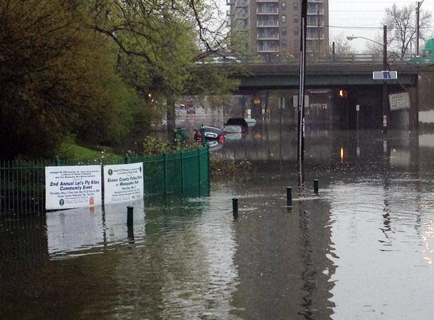
Flooding in Newark

May 2014 had a difficult time establishing an identity. What began with a storm that carried over from April 30th and resulted in the 7th largest flood of the past century in the Raritan basin on the 1st (see the April narrative for discussion of this event), later included some warm days, late freezes in a few locations, severe thunderstorms with hail in others, and a spectacular Memorial Day. Overall, May averaged 62.1°, which is 1.3° above average (compared to the 1981-2010 average). This ranks as the 35th warmest (tied with 1962) in the 120 years back to 1895. Precipitation averaged 5.18", which is 1.18" above average and ranks as 19th wettest. This value includes the considerable rain that fell on April 30th at National Weather Service Cooperative Stations that report during the morning hours (see April narrative for a full explanation).

Subscribe to RSS - Hail