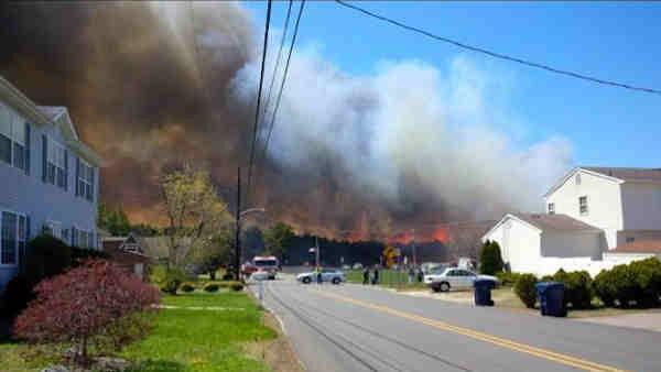
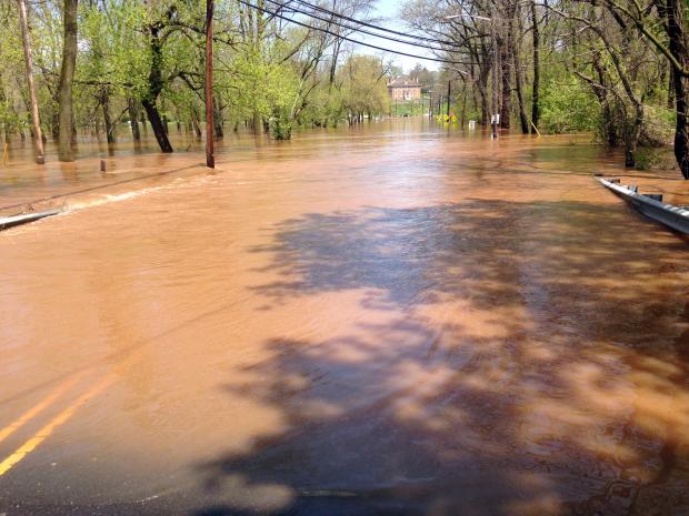
Another End-of-Month Soaker…but First Some Flames: April 2014 Summary

Was it a drier-than-average April? Was it a wetter-than-average April? If only it hadn't rained heavily on the last day of the month! Certainly this is a strange beginning to this monthly weather narrative. Let me explain before we get to the numbers. Most National Weather Service Cooperative observers, of which there are several dozen in New Jersey, take their daily observations in the 7-8 AM time range. So does nearly every NJ CoCoRaHS observer. These observations are recorded for the calendar day at hand, thus a day's weather records are complete as of the observation time. This means that any precipitation that occurs after the daily observation gets recorded the next morning (day). This is something that must be understood when evaluating daily precipitation reports, however, it does not make any difference in monthly totals except on the first and last day of the month. One of these exceptions occurred, in a big way, in April…or was it May?! Torrential rain fell during the daylight hours into the evening of April 30, part of an event that began lightly during the daylight hours of the 29th and ended just after observation time on the morning of May 1st (yes, meaning May 2 observations also were involved in storm totals). What up until then had been a somewhat dry April suddenly became a wet month…if you waited until midnight to take your observations. And believe it or not, some COOP stations do have observations taken at midnight. Confused? Can't blame you…


