Ida Remnants Strike New Jersey

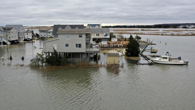
Post tropical storm Ida moved across the Garden State during the afternoon of September 1st into the early hours of the 2nd. It brought with it torrential rainfall, leading to flash and river flooding that took the lives of approximately 30 individuals and the rescue of countless more from raging waters. Additionally, it brought three tornadoes to southwestern and central areas, including the first EF-3 twister to strike New Jersey in 31 years. There were only minor injuries and no deaths from the tornadoes.
Ida developed in the Caribbean, being named a tropical storm on August 26th. From there, it moved northwestward, attaining hurricane status on the 27th as it passed over extreme western Cuba and moved into the Gulf of Mexico. It maintained a steady course as it strengthened into a major category 4 hurricane, making landfall in Louisiana on the 29th with sustained one-minute wind speeds as high as 150 mph. Once inland, winds diminished rather quickly but rainfall associated with the tempest remained heavy as the storm began to curve toward the northeast. This track remained quite steady as the storm weakened to a tropical depression on the 30th and became an extratropical low-pressure system as it approached the central Appalachians. On September 1st, Ida’s remnants merged with an advancing cold front as the system entered the Mid-Atlantic and crossed New Jersey before moving into southeast New England on the 2nd.


