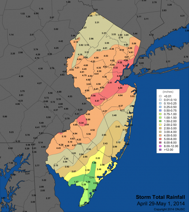
Copious moisture streaming across a slowly advancing warm front resulted in a period of heavy rain across the Garden State, with most of the rainfall occurring on April 30th. The entirety of NJ north of Cape May County was deluged with more than 2.00" of rain, with a large area of greater than 4.00" totals extending from southwest to northeast along the entire span of the state. In particular, the area from western Salem, Gloucester, Camden, Burlington and Monmouth counties north up to roughly I-80 were socked with 4.00"-5.00", with some localized pockets of greater than 5.00".
CoCoRaHS stations in Robbinsville Twp (Mercer County) and Matawan (Monmouth) reported the highest totals in the state, with 6.02" and 5.59", respectively. Stations in Medford Twp (Burlington County; 5.44"), New Brunswick (Middlesex; 5.39"), Westfield (Union; 5.32"), and Maplewood Twp (Essex; 5.25") also measured among the heaviest totals in NJ. On the low side, stations in Cape May County such as West Cape May (0.90"), Middle Twp (1.05"), Dennis Twp (1.27"), and Wildwood Crest (1.29") missed out on the heaviest rain. A preliminary map of rainfall totals for the three days centered on April 30th can be found below.
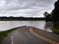
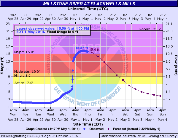
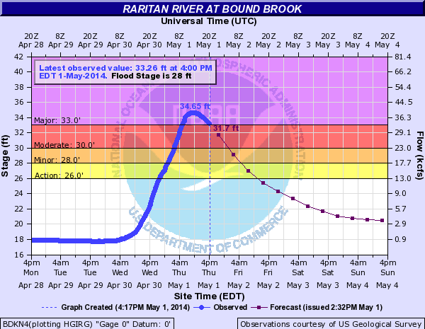
Despite ancedent conditions that were not particularly wet, river responses were dramatic, particularly in the Raritan watershed, which was almost completely covered with greater than 4.00" of rainfall. Both the Millstone River at Blackwells Mills and mainstem of the Raritan River at Bound Brook reached "major" flood levels. The crests at Blackwells Mills (15.87') and Bound Brook (34.65') both rank as the 7th highest on record at these gauge stations (records date back to 1921 at Blackwells Mills and 1966 at Bound Brook; see below for hydrographs).
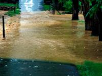
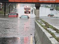
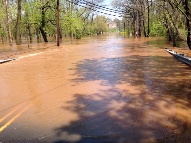
Flash flooding and closed roads were commonplace across the state during the late evening and extending into the May 1st morning rush, making travel difficult and slow.


